L'IA bonne a tout faire https://www.blogdumoderateur.com/100-principaux-cas-usage-ia-2026/ #ia #usecase
Prozessdokumentation
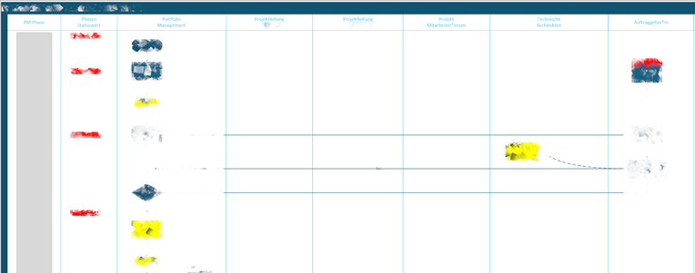
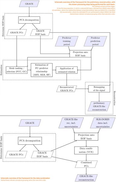
Warum richten alle das funktionsübergreifende #Flussdiagramm waagerecht aus?
Bis gestern hab ich das auch getan, obwohl ich nie auf die Idee gekommen wäre #Sequenzdiagramm #Programmablaufplan oder #Usecase Diagramm waagerecht auszurichten. Dann kann man am Schirm gar nicht scrollen 😂
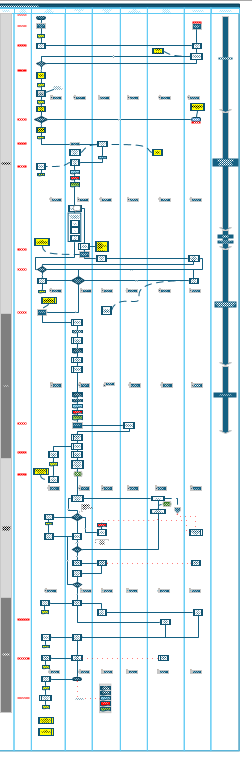
Senkrecht ist übersichtlich, nutzt den Platz so effektiv, dass man es sogar an die Wand werfen und trotzdem die Texte lesen kann 🤔