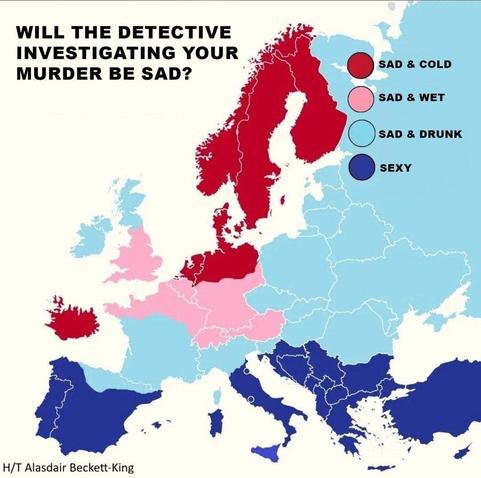
The Mood & State Of European TV Detectives - Mapped
--
H/T @Alasdair Beckett-King
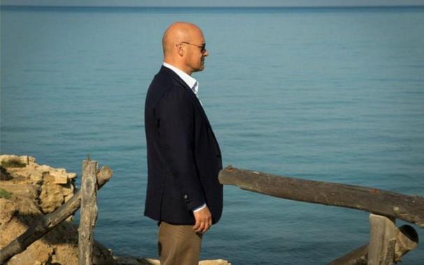
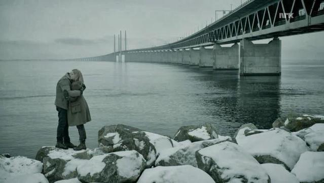
I do love my European detective shows – Salvo Montalbano in Sicily, Kurt Wallander in Sweden, Saga Norén & Martin Rohde in Denmark AND Sweden, ‘Piet’ Van der Valk in Amsterdam, Endeavour Morse in Oxford, Jules Maigret in Paris, Geordie Keating and a revolving Anglician vicar in Cambridge & surrounds, and many more
I have been lucky enough to visit Ragusa & Punta Secca, Amsterdam, and Oxford – but still need to get to the Scandiwegian locations, Paris & Cambridge…
#FridayFun #mapping #spatial #TV #ScandiNoir #CrimeDrama #NordicNoir #policeprocedural #Europe #Sweden #scandiwegian #Italy #sicily #holland #england #PBS #MasterPieceTheatre @PBS