Why Is The Federal Government Spending Millions On Aerial Geological Mapping In Southern Colorado?
--
https://www.cpr.org/2025/11/19/geological-survey-earth-mri-colorado-minerals/ <-- shared media article
--
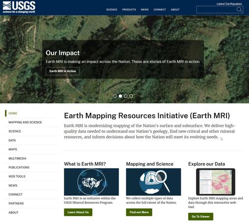
https://www.usgs.gov/earth-mapping-resources-initiative-earth-mri <-- shared (USGS) Earth Mapping Resources Initiative (Earth MRI) entry page
--
https://ngmdb.usgs.gov/emri/#3/40/-96 <-- shared Earth MRI web map(s)
--
https://www.usgs.gov/centers/gggsc <-- shared USGS Geology, Geophysics, and Geochemistry Science Center entry page
--
https://mrdata.usgs.gov/earthmri/data-acquisition/project.php?f=html&pid=1071 <-- shared USGS Colorado Alkaline Igneous Belt Survey report
--
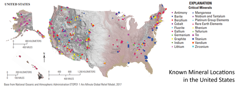
https://www.usgs.gov/programs/mineral-resources-program/science/what-are-critical-minerals-0 <-- shared final 2025 #DOI / #USGS report on list of critical minerals
--
#geophysics #remotesensing #earthobservation #airborne #mapping #spatial #criticalminerals #colorado #geology #structuralgeology #Colorado #USA #EarthMRI #SouthernColorado #geologicdata #geologicmapping #geochemistry #igneous #survey #geophysicalsurvey #economic #economy #mineral #mineralresources
@CPR @USGS @NV5
--
https://www.cpr.org/2025/11/19/geological-survey-earth-mri-colorado-minerals/ <-- shared media article
--
https://www.usgs.gov/earth-mapping-resources-initiative-earth-mri <-- shared (USGS) Earth Mapping Resources Initiative (Earth MRI) entry page
--
https://ngmdb.usgs.gov/emri/#3/40/-96 <-- shared Earth MRI web map(s)
--
https://www.usgs.gov/centers/gggsc <-- shared USGS Geology, Geophysics, and Geochemistry Science Center entry page
--
https://mrdata.usgs.gov/earthmri/data-acquisition/project.php?f=html&pid=1071 <-- shared USGS Colorado Alkaline Igneous Belt Survey report
--
https://www.usgs.gov/programs/mineral-resources-program/science/what-are-critical-minerals-0 <-- shared final 2025 #DOI / #USGS report on list of critical minerals
--
#geophysics #remotesensing #earthobservation #airborne #mapping #spatial #criticalminerals #colorado #geology #structuralgeology #Colorado #USA #EarthMRI #SouthernColorado #geologicdata #geologicmapping #geochemistry #igneous #survey #geophysicalsurvey #economic #economy #mineral #mineralresources
@CPR @USGS @NV5
