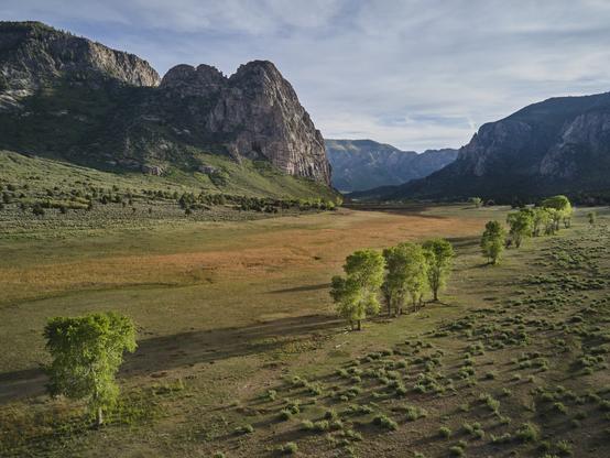
Unaweep Canyon - Two Creeks Flow Out Of Either End Of This [Colorado] Canyon In Opposite Directions
--
https://www.atlasobscura.com/places/unaweep-canyon <-- shared technical article
--
https://doi.org/10.1130/GES01112.1 <-- shared paper
--
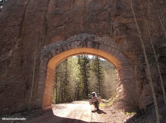
[seems like a motorcycle road trip is in order - and happy to visit this beautiful part of the world again]
#geology #colorado #paleovalley #UnaweepCanyon #unaweep #precambrian #unique #divide #water #hydrology #underfit #drainage #EastCreek #WestCreek #Dolores #Uncompahgre #UncompahgrePlateau #erosion #Gunninson #canyon #Tabeguache #mapping #geologicmapping #fieldwork #Cenozoic #gravel #sediment #rockcore #coring #lacustrine #geomorphology #geomorphometry #dating #landform #volcanics #tectonics
--
https://www.atlasobscura.com/places/unaweep-canyon <-- shared technical article
--
https://doi.org/10.1130/GES01112.1 <-- shared paper
--
[seems like a motorcycle road trip is in order - and happy to visit this beautiful part of the world again]
#geology #colorado #paleovalley #UnaweepCanyon #unaweep #precambrian #unique #divide #water #hydrology #underfit #drainage #EastCreek #WestCreek #Dolores #Uncompahgre #UncompahgrePlateau #erosion #Gunninson #canyon #Tabeguache #mapping #geologicmapping #fieldwork #Cenozoic #gravel #sediment #rockcore #coring #lacustrine #geomorphology #geomorphometry #dating #landform #volcanics #tectonics