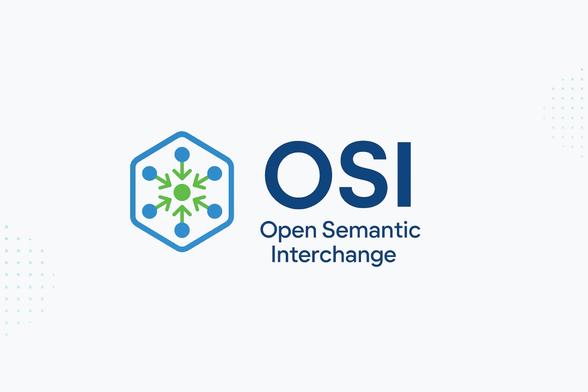
Open Semantic Interchange: #OpenSemanticInterchange (#OSI) is a new vendor-neutral initiative aiming to standardise how semantic #metadata is shared across #analytics, #AI, and #BI platforms using #YAML — with #CARTO among its working group members. If adopted, it could...
https://spatialists.ch/posts/2026/05/21-open-semantic-interchange/ #GIS #GISchat #geospatial #SwissGIS
Open Semantic Interchange – Spatialists – geospatial news

#OpenSemanticInterchange (#OSI) is a new vendor-neutral initiative aiming to standardise how semantic #metadata is shared across #analytics, #AI, and #BI platforms using #YAML — with #CARTO among its working group members. If adopted, it could meaningfully change how semantic layers work across the #data stack.

Spatialists – geospatial news

This is a reminder that the registration for SDSL 2026 is end of May.

You are developing tools for spatial data science?

Join us at this years workshop for Spatial Data Science across Languages (SDSL) 2026 – Sept 16–17 (+18), Jena, Germany.

Connect R, Python, Julia & more in spatial science.

Apply for on-site participation till end of May 2026.

More infos: https://spatial-data-science.github.io/2026/

Register directly: https://survey.academiccloud.de/f/861612?lang=en

#SDSL #geospatial #julialang #python #R
#SDSL2026
#SpatialDataScience
#OpenSource
#RSpatial
#Geopython
#Juliageo

Spatial Data Science across Languages (SDSL) 2026

2026
Weather Replay: Historisches Wetter ab 1940 visualisieren / Visualising historical weather data from 1940 onwards https://geoobserver.de/2026/05/21/weather-replay-historisches-wetter-ab-1940-visualisieren/ via @galeanodavid #gistribe #gischat #fossgis #foss4g #OSGeo #spatial #geospatial #DataViz #gis #geo #geoObserver pls RT

100 days to go! 🎉

State of the Map 2026 hits Paris 🇫🇷 this summer — the global OpenStreetMap #community gathering.

Expect:500+ participants, 3 days of panels, #workshops & talks on open geospatial data, tools & real-world use cases.

Hosted at Cité Descartes with @Université Gustave Eiffel, @Géodata #Paris, @Institut polytechnique de #Paris & @IGN.

Sponsor & connect with OSM: [email protected]

#StateOfTheMap #OpenStreetMap #OSM #GeoSpatial #Sotm2026

Feb 9 → May 19, 2026.

100 consecutive days of GIS, 3D maps, WebGL, client work, experiments, and spatial storytelling.

I collected the full campaign in an interactive calendar:
https://maptheclouds.com/100-day-map-challenge/stats/

The campaign is complete. I’m open to selective collaborations on spatial platforms, 3D visualization, and interactive mapping systems.

📩 [email protected]

Huge thanks to everyone who followed along. 🚀

#100DayMapChallenge #3DMaps #GIS #WebGL #ThreeJS #Geospatial

New home for INTERLIS content: Stefan Ziegler’s blog has found a new home: After 12 years of blogging, this #INTERLIS community resource is now at blog.interlis.guru. Update your #RSS feed reader if you follow this essential resource for the Swiss geodata community (which...
https://spatialists.ch/posts/2026/05/08-new-home-for-interlis-content/ #GIS #GISchat #geospatial #SwissGIS
New home for INTERLIS content – Spatialists – geospatial news

Stefan Ziegler’s blog has found a new home: After 12 years of blogging, this #INTERLIS community resource is now at blog.interlis.guru. Update your #RSS feed reader if you follow this essential resource for the Swiss geodata community (which doesn’t just cover INTERLIS).

Spatialists – geospatial news
Geoinformation chatbot for the canton of Berne: The canton of Berne has launched a #chatbot on their geoinformation portal that lets users ask questions about available cantonal #geodata and its #metadata in natural language — in German, French, English, and more. It is not (yet?) a ‘talk to the...
https://spatialists.ch/posts/2026/05/08-geoinformation-chatbot-for-the-canton-of-berne/ #GIS #GISchat #geospatial #SwissGIS
Geoinformation chatbot for the canton of Berne – Spatialists – geospatial news

The canton of Berne has launched a #chatbot on their geoinformation portal that lets users ask questions about available cantonal #geodata and its #metadata in natural language — in German, French, English, and more. It is not (yet?) a ‘talk to the map’ solution, but a discovery tool for navigating the website and finding data.

Spatialists – geospatial news
#Wayfinding assumptions challenged: A new study challenges the assumption that pedestrians wish for turn-by-turn #navigation, showing many prefer a simple route preview, without losing performance or spatial awareness. Paired with contrasting ideas from #3D navigation design, it’s a...
https://spatialists.ch/posts/2026/05/20-navigation-assumptions-challenged/ #GIS #GISchat #geospatial #SwissGIS
Navigation assumptions challenged – Spatialists – geospatial news

A new study challenges the assumption that pedestrians wish for turn-by-turn navigation, showing many prefer a simple route preview, without losing performance or spatial awareness. Paired with contrasting ideas from 3D navigation design, it’s a reminder that the “right” level of guidance depends less on technology and more on context and user needs.

Spatialists – geospatial news

RE: https://fosstodon.org/@grassgis/116544473036727579

👀 Watching: @grassgis marks another major step forward for long-term #open #geospatial infrastructure.

Notable updates:
🐍 new grass.tools Python API
📊 JSON output across many tools
📖 Docs rewritten in Markdown
⚡ processing improvements + 22 new addons

Great example of long-term sustainability in the FOSS4G ecosystem 👏
👉 https://grass.osgeo.org/news/2026_05_08_grass_8_5_0_released/

#opensource #geospatial #foss4g #python #markdown #gis