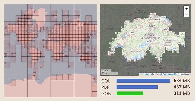
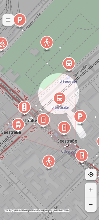
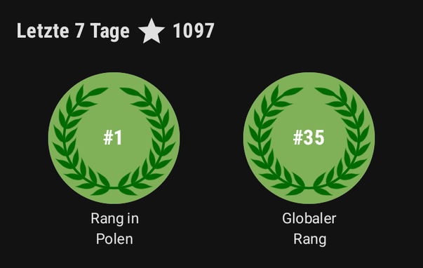
Quelque chose se prépare...
#Sotm2025 #osm #Tours

Je continue mes propres expérimentations #PANORAMAX avec mon matériel de fortune (ça me rappelle l'ère #UnPointCestTout avant #osm ).

Ce soir, je tente OpenCamera sur vélo : 1h de postprod pour redresser les photos.
Et une nouvelle fois, plein de photos refusées car colocalisées. Ca m'étonne. Mais à voir le tracé, on dirait que les positions ont été arrondies.

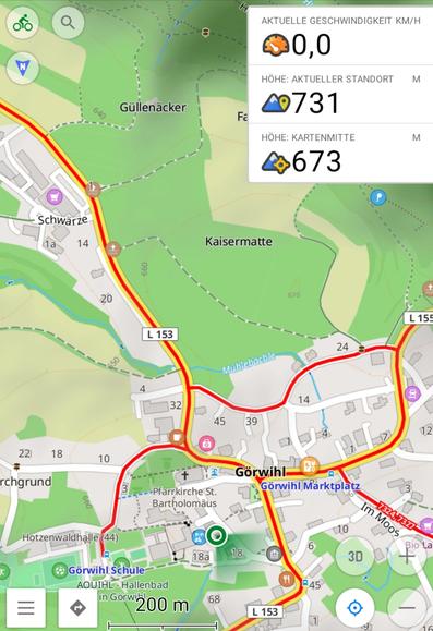
La prochaine fois je log avec #OSMand en parallèle.

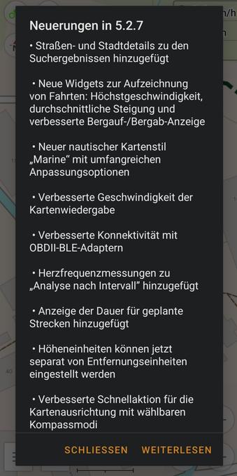
I never scrolled through OSMand's settings before.
The "profiles" read like a CIV tech tree.

#osm #civilization

Preguntilla #OSM #OpenStreetMap #StreetComplete

¿Cómo etiquetaríais la sede de un Colegio Oficial?

Time for another mapping meetup!

🗓️ Date - Sunday, 29th of June
🕙 Time - 5 PM to 7 PM
📌 Location - Shahdara

चलो एक और मैपिंग मीटअप करते है!

🗓️ तारीख - रविवार, 29 जून
🕙 टाइम - शाम में 5 से 7 बजे तक
📌 जगह - शाहदरा

https://osmcal.org/event/3819/

#OpenStreetMap #OSM #Delhi #OsmNcr #India

Newest test case for route planner: A planner that tells you what the streets are named after in Denmark.

I have "simply" updated the street names with the description from Wikidata and OpenStreetMap. Perhaps I'll style it a bit, but the OSRM part is pretty default otherwise.

The descriptions is in Danish.

https://osrm.findvej.dk/etymology/?z=13&center=55.681504%2C12.606983&loc=55.649384%2C12.618806&loc=55.689294%2C12.526131&hl=da&alt=0

#OSM #OpenStreetMap #OSRM

@Frau_Ilka Ja, das verstehe ich. Ich hoffe, dass sich im Bereich #OpenCitizenScience da über kurz und lang noch etwas bewegen wird. Die #OSM Community ist schon dran. Zum Beispiel gibt es das Projekt #ObstBaumKarte von Oliver Rudzick (wobei damit nicht nur Obst-Bäume gemeint sind)
https://obstbaumkarte.de/

Soweit ich es verstand, kannst Du da auch übers Web mitmachen:
https://obstbaumkarte.de/about/
bzw. hier https://wiki.openstreetmap.org/wiki/User:Olr/Tagging_von_B%C3%A4umen

Obstbaumkarte

Wenn Autofahrende gerne mal "Schleichwege" (Feldwege, Waldwege oder Privatwege) illegal nutzen, könnte man die Kartendaten in #OSM und #Googlemaps updaten (lassen).

Hilft meist mehr, als sich immer aufzuregen.

After I found a list of ~5k bus stops in the #BaltimoreMetro area I put them in a CSV file and thence into QGis. The phantom "40" bus line is in there, so I have a checklist of stops to add the route to #OSM .
A few stops have coinciding names, one list of buses has "null" but other than that looks like useful data for improving freely available transit content.