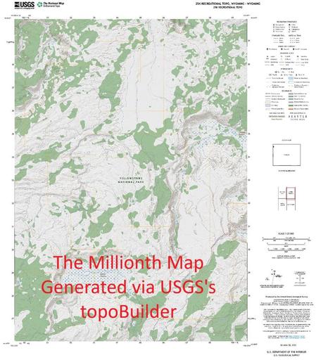
USGS topoBuilder Milestone of 1 Million Maps Delivered
--
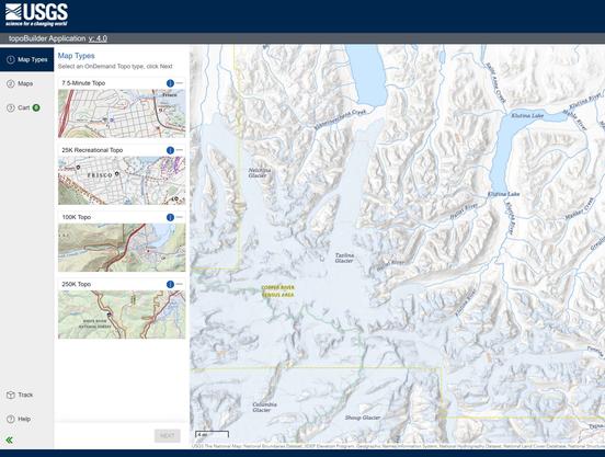
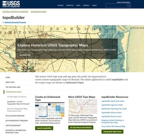
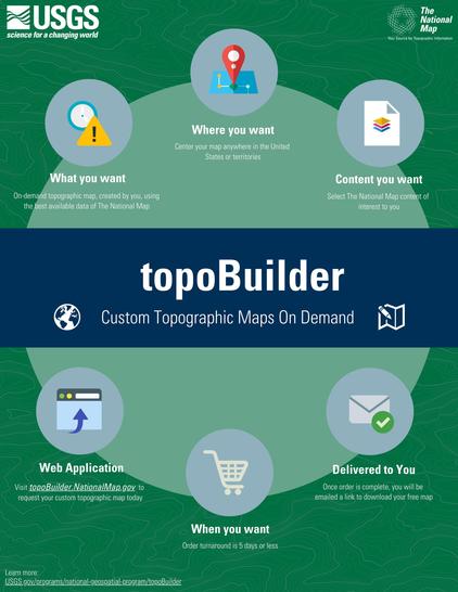
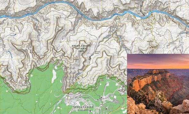
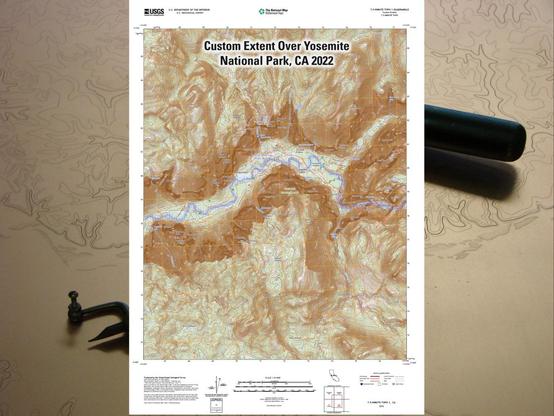
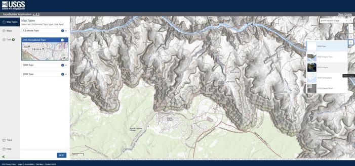
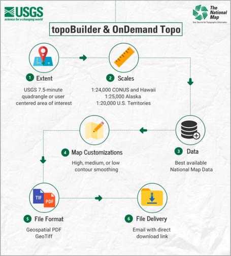
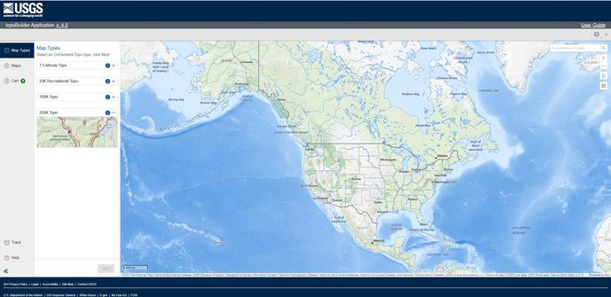
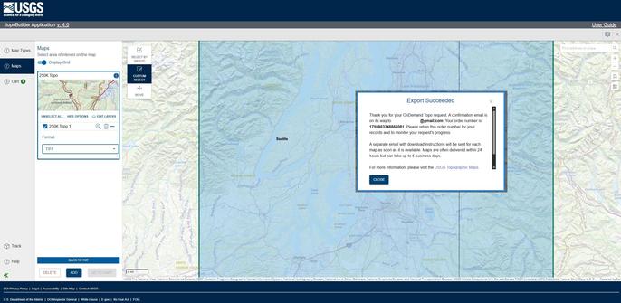
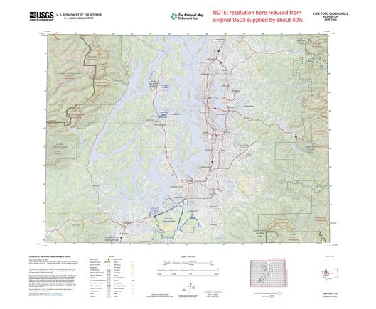
https://www.usgs.gov/programs/national-geospatial-program/topobuilder <-- USGS topoBuilder Open Source / Open Data creation page, make your own custom USGS ‘topo map’!
--
“Each year, [the #USGS has] seen steady growth in map requests, underscoring the public’s trust and appreciation for these innovative products.
This [USGS topoBuilder Milestone of 1 Million Maps Delivered] is a testament to the dedication and expertise of colleagues across the National Geospatial Program and the National Geospatial Technical Operations Center. The success of topoBuilder is built on the collective efforts behind The National Map...
[The USGS] has modernized and advanced #topographic mapping…”
#GIS #spatial #mapping #NGP #NGTOC #usecase #fedscience #fedservive #topomap #ondemand #custom #USGS #topobuilder #opendata #publicservice #publicgood #milestone #TNM #NationalMap #free #recreation #usecase #agriculture #hiking
@USGS