Die FOSS Academy bietet offene Schulungen, aber auch Schulungen Inhouse mit und auf Wunsch bei Ihnen vor Ort.
Wir beraten Sie gerne und machen Ihr Team fit für den Einsatz von #OpenSource #Geospatial.
https://www.foss-academy.com
#FOSSGIS #OSGeo #GIS #WebGIS #QGIS #FOSS4G #OSGeo @wheregroup @foss_academy
FOSS Academy - FOSS Academy
Das Schulungsinstitut der WhereGroup bietet praxisorientierte Schulungen zum Thema „GIS mit Open-Source-Software“.
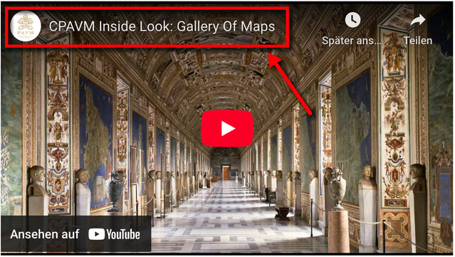
Vatican: The Gallery of Maps | #geoObserver
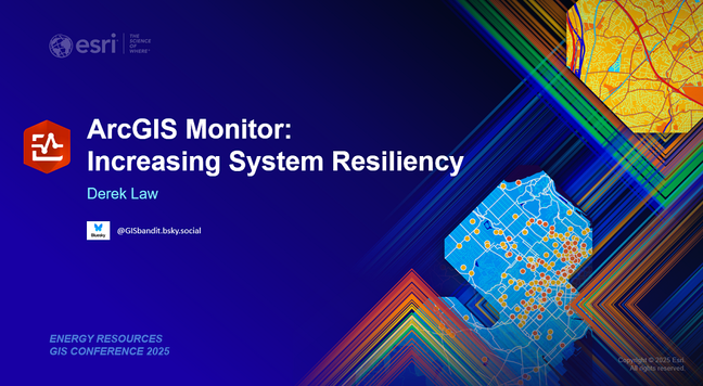
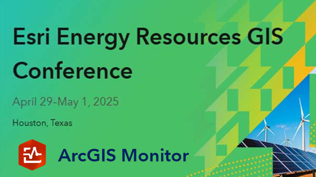
ArcGIS Monitor at ERGIS 2025
The Esri Energy Resources GIS (ERGIS) 2025 Conference will be held in Houston, Texas on April 29–May 1. It is the premier event for the energy community to explore the latest trends, GIS technology, and innovative success stories. Learn more about the event here. To learn more about ArcGIS Monitor...
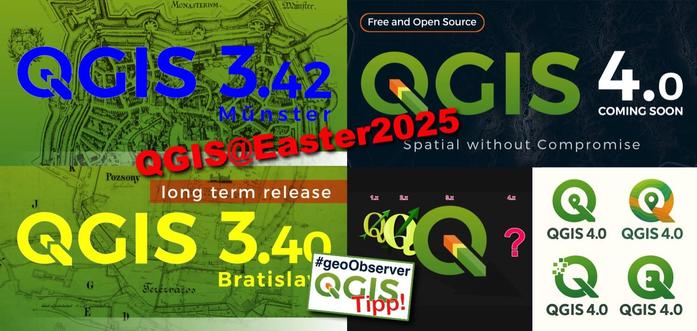
QGIS-Tipp: v3.42.2, v3.40.6 (LTR) und Ankündigung v4.0 | #geoObserver
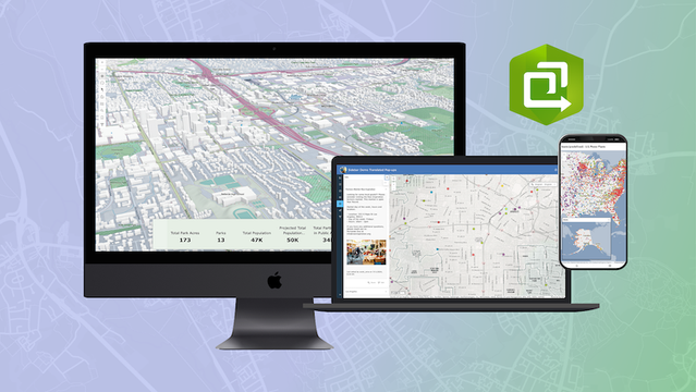
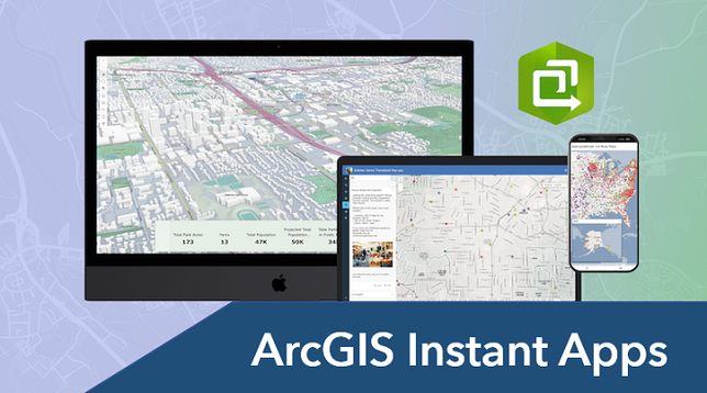
ArcGIS Instant Apps: Tips and Tricks
Explore tips and tricks to maximize the potential of Instant Apps for creating and sharing maps and data easily.
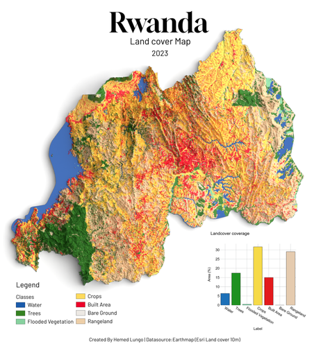
A Map🗺️ showing Land cover of Rwanda for year 2023 ,Dataset from Earthmap (Esri Land cover 10m)
#Rwanda #Africa #geospatial #gischat #dataviz #render #qgis #blender #b3dAuch 2025: Frohe (Geo-) Ostern! | #geoObserver
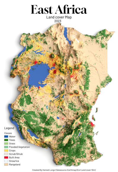
A Map🗺️ showing Land cover of East Africa for year 2023 ,Dataset from Earthmap (Esri Land cover 10m)
#Kenya #Tanzania #Uganda #EastAfrica #geospatial #gischat #Africa #dataviz #render #qgis #blender #b3dAutomatic relative elevation model generation: OpenTopography’s
#RiverREM is a
#Python-based tool that automates the creation and visualization of relative elevation models (REMs) from digital elevation models, making it easier than ever for scientists, artists, and enthusiasts to explore the...
https://spatialists.ch/posts/2025/04-19-automatic-relative-elevation-model-generation/ #GIS #GISchat #geospatial #SwissGIS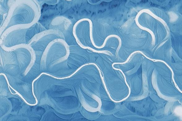
Automatic relative elevation model generation – Spatialists – geospatial news
OpenTopography’s #RiverREM is a #Python-based tool that automates the creation and visualization of relative elevation models (REMs) from digital elevation models, making it easier than ever for scientists, artists, and enthusiasts to explore the dynamic history and structure of river landscapes.
