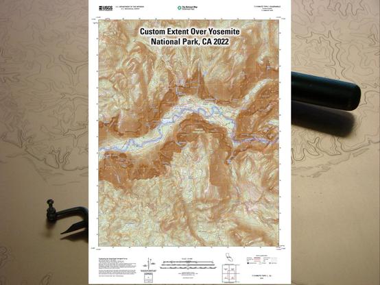
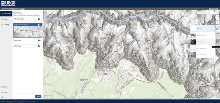
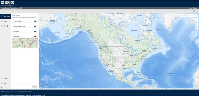
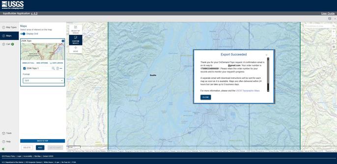
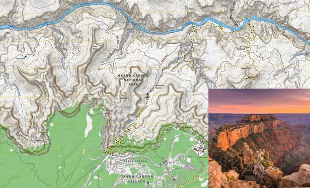
Adventurers And Hikers Can Now Download The New #USGS [USA & territories] Topographic Maps For FREE
--
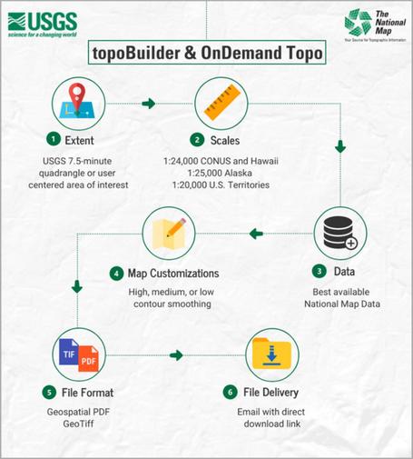
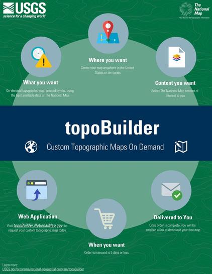
[topoBuilder, USGS #topomaps #ondemand with the latest map data]
--
https://www.earth.com/news/recreational-usgs-topographic-maps-available-build-and-download-for-free/ <-- shared 3rd party technical overview article
--
https://topobuilder.nationalmap.gov/ <-- shared link to new @USGS 25K Recreational Topo series creation / requests, and others like 250K, via #USGS #topoBuilder
--
https://youtu.be/5q-6FTxk4yQ?si=qy6NV8g4F90KPx34 <-- video, topoBuilder tutorial / intro
--
https://gazette.com/2025/08/07/new-mapping-tool-aims-to-be-game-changer-for-colorado-recreation-a0a53467-d50c-43ad-9304-b7817c37da2f/ <-- shared media article
--
#GIS #spatial #mapping #USGS #topomap #opendata #free #ondemand #custom #grid #cartography #topoBuilder #usecase #camping #hiking #hunting #recreational #agricultural #navigation #cartography #layout #25KRecreationalTopo #maps #map #latestdata #current
@USGS
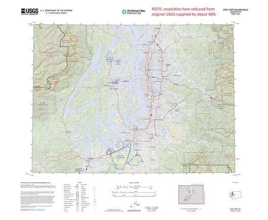
Latest #USGS Map-Product Release - 250K Topo OnDemand Topo Products Now Available Through The Topobuilder Application
--
https://www.usgs.gov/programs/national-geospatial-program/news/regional-view-reliable-data-introducing-usgs-250k-topo <-- USGS product announcement page and topoBuilder custom map construction application access
--
“The U.S. Geological Survey (USGS) has launched the 250K Topo, a new digital map product designed to support regional planning, land and resource management, and emergency response coordination…”
--
#GIS #spatial #mapping #USGS #OnDemandTopo #NGP #topoBuilder #OnDemand #250KTopo #Geospatial #TopographicMaps #GIS #MappingInnovation #OpenData #Maps #NGTOC #NGP #custom #opendata #latest #spatialdata #topomap #fedservice #fedscience #publicgood
@USGS

@rpmik @User47 The GISsurfer link below opens at a random spot and displays seamless scans of the paper USGS topo maps with section lines. These maps are no longer being produced and have not been updated for many years.

Open GISsurfer map:
https://mappingsupport.com/p2/gissurfer.php?center=44.944540,-90.553007&zoom=14&basemap=USA_scanned_topo

After the map opens you can search on your address:
Menu > Search.

The GISsurfer *website* has lots of 'help' info.
https://gissurfer.com
#GIS #Geospatial #Maps #TopoMap

GISsurfer General Purpose Web Map and GIS Viewer | Surf GIS DATA

GISsurfer lets you surf a nearly endless amount of GIS data. Click a layer in the GIS server's table of contents and that data appears on the map.

@Hyades51 What is #FloodMap? I had to use #topoMap and follow contours, but this was early '70s IIRC.
Carving 3D Terrain Topographic Relief Maps on a CNC Machine by Steve M. Potter

Carving 3D Terrain Topographic Relief Maps on a CNC Machine by Steve M. Potter: I will describe in detail my process of taking satellite terrain imaging data and turning it into a CNC-carved work of art. The result can be a lasting heirloom that can also be educational or of great personal significance to someone who has lived …

Instructables

And here's another one of my massive, two foot by six foot hand-drawn topographic maps, this one of Shenandoah National Park. These take me about two weeks to hand-draw all the lines and then add color. The southern end of the park is on the left, the north is on the right.

#map #MapArt #geography #TopoMap #topography #Shenandoah