Vibe cartography sandbox: @davidoesch has open-sourced his workflow for generating #AI-driven #topographicmaps directly from #aerialimagery, following his earlier experiment in “vibe cartography”. The GitHub repository lets anyone reproduce the method using Python and a...
https://spatialists.ch/posts/2025/10/13-vibe-cartography-sandbox/ #GIS #GISchat #geospatial #SwissGIS
Vibe cartography sandbox – Spatialists – geospatial news

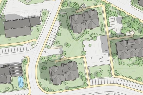
David Oesch has open-sourced his workflow for generating #AI-driven #topographicmaps directly from #aerialimagery, following his earlier experiment in “vibe cartography”. The GitHub repository lets anyone reproduce the method using Python and a Google account, while also inviting collaboration on the proposed future improvements.
Spatialists – geospatial news
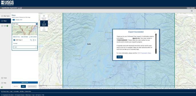
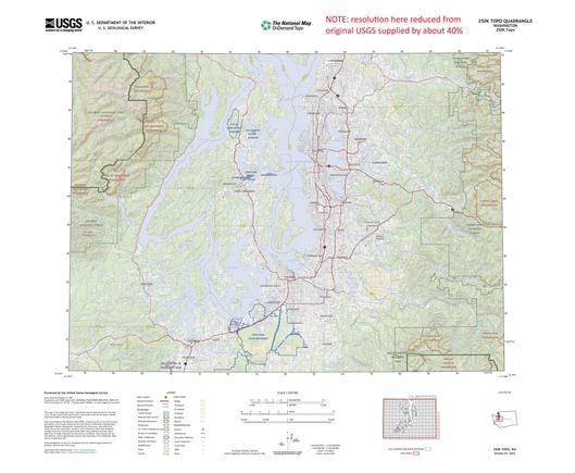
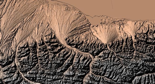
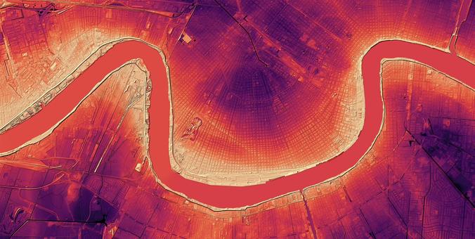
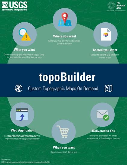
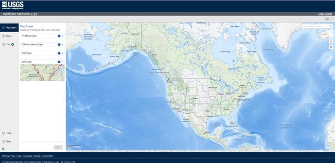
Latest #USGS Map-Product Release - 250K Topo OnDemand Topo Products Now Available Through The Topobuilder Application
--
https://www.usgs.gov/programs/national-geospatial-program/news/regional-view-reliable-data-introducing-usgs-250k-topo <-- USGS product announcement page and topoBuilder custom map construction application access
--
“The U.S. Geological Survey (USGS) has launched the 250K Topo, a new digital map product designed to support regional planning, land and resource management, and emergency response coordination…”
--
#GIS #spatial #mapping #USGS #OnDemandTopo #NGP #topoBuilder #OnDemand #250KTopo #Geospatial #TopographicMaps #GIS #MappingInnovation #OpenData #Maps #NGTOC #NGP #custom #opendata #latest #spatialdata #topomap #fedservice #fedscience #publicgood
@USGS
I now have a complete set of 1970s - 1980s 1:50k topographic maps of South West Africa / Namibia - and is now online: https://namibia-topo.openstreetmap.org.za/
Huge thanks to Sibylle Engelhard for sharing the final missing sheets.
#Namibia #TopographicMaps #Mapping 🌍🗺️ ❤️
OpenStreetMap - Namibia / South West Africa - Topographic Series

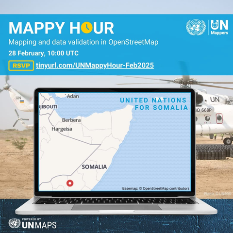
Hi #osm town, happy to share that I have joined the #UNMappers community team 💙 (will have masto account and goodbye X soon promise 🤞🏻)

Also hosting my first ever mapathon / #mappyhour with UN Mappers this Friday 🥹🙌🏼

RSVP: https://tinyurl.com/UNMappyHour-Feb2025

see you? 👀🥳 #unmaps #openstreetmap #topographicmaps

UN Mappers Mappy Hour

Learn how to map for peacekeeping missions with UN Mappers. All mappers, new and experienced, welcome!

Eventbrite
Training | U.S. Geological Survey

Instructional Videos on Using The National Map Products and Services