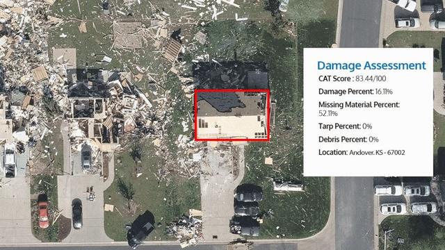
The 2025 Hurricane Season is soon to begin, and while daily forecasts will be crucial during this time, so too are future assessments and projections.

Two #JCRR manuscripts shed light on tropical cyclone risks and the uses of climate models - and more will be published in the coming months. 

Keep informed here: https://journalofcrr.com/research/

#NaturalHazard #RiskModelling #CATrisk 

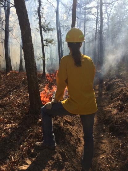
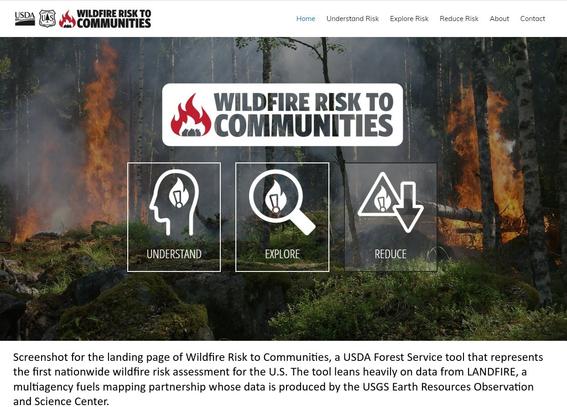
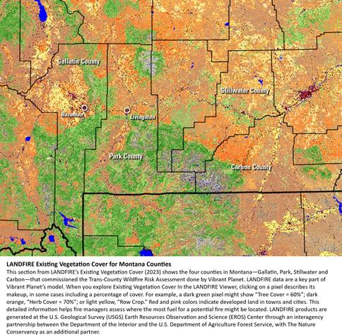
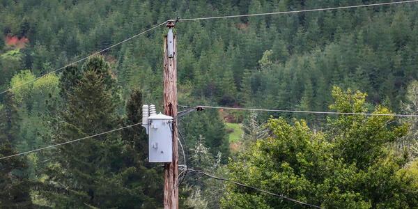
Landsat at Work: Satellites Help Extinguish Wildfire Risk

“How much money did that save our community by making these investments?” said Keith Brooks, general manager of the Douglas Electric Cooperative. “It’s hard to quantify the fire that never happens.” 

USGS
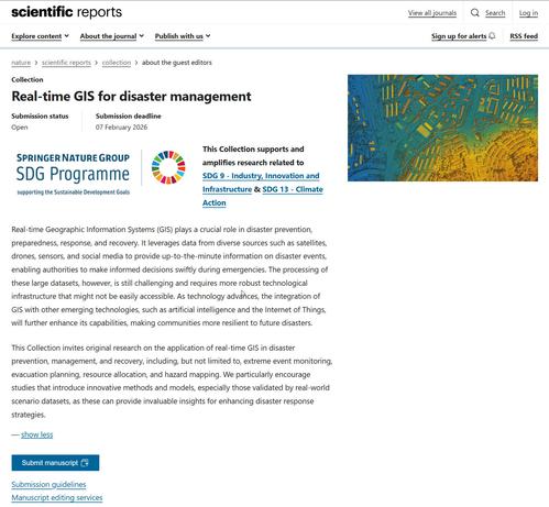
Call For Manuscript Submissions - Real-Time GIS For Disaster Management
--
https://www.nature.com/collections/bjdhbfiadi/guest-editors <-- shared link to submission details
--
[note that I have NO affiliation with this journal, the guest editors, etc]
[I wonder if anybody from FEMA has compiled use case / effectiveness / robustness on/of the #WaffleHouseIndex in the southern USA, especially related to hurricanes?]
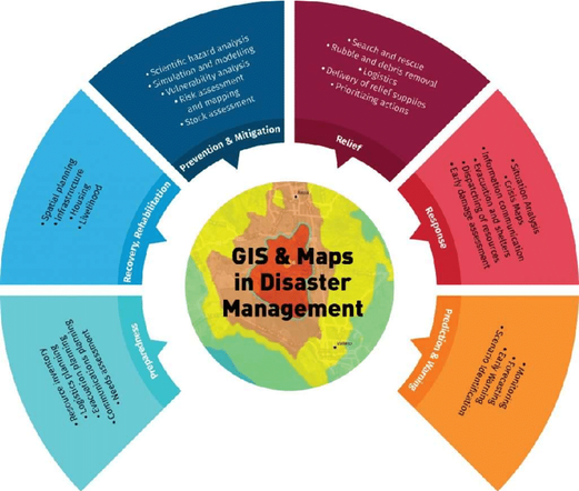
#GIS #paper #mapping #spatial #manuscripts #callforpapers #callformanuscripts #submissions #callforsubmissions #realtime #disaster #management #mitigation #prevention #preparedness #response #recovery #risk #hazard #naturalhazard #naturalhazard #emergency #remotesensing #earthobservation #satellite #drone #sensor #socialmedia #WaffleHouseIndex #datasets #AI #InternetOfThings #research #monitoring #evacuation #planning #resourceallocation #hazardmapping #realworld #global
About the Guest Editors | Real-time GIS for disaster management

This Scientific Reports Collection invites original research on the application of real-time GIS in disaster prevention, management, and recovery.

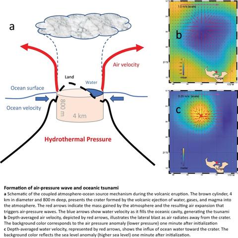
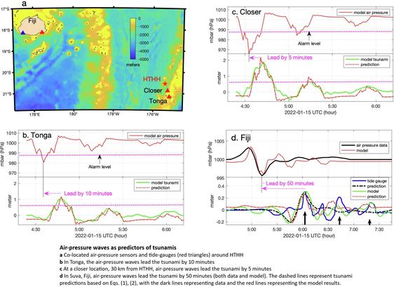
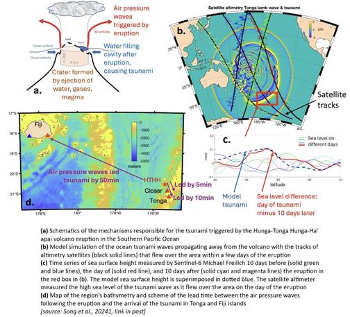
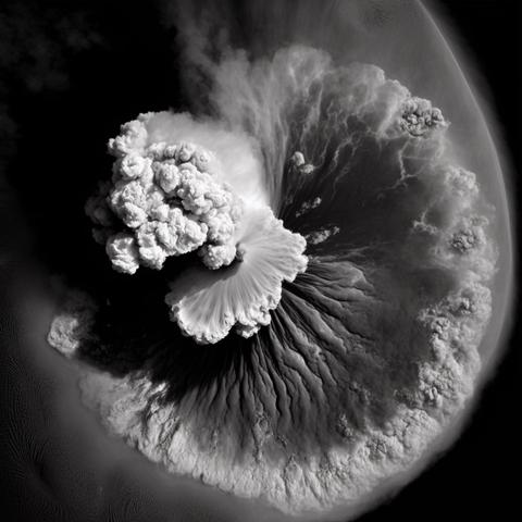
Data in Action: The 2022 Hunga-Tonga Hunga-Ha′apai eruption - Altimetry data and models help us understand how a volcanic eruption generated a tsunami | PO.DAAC / JPL / NASA

Volcanic eruptions can trigger tsunamis that pose significant threats to nearby coastal communities. The mechanisms responsible for the formation of tsunamis after volcanic eruptions are still poorly understood. Some possibilities include submarine landslides, pyroclastic flows (fast-moving current of hot gas and volcanic matter that flows in the ocean), caldera column collapses (massive blocks of rock near the top of the volcano sliding down into the volcano), deep-ocean explosions, volcano-tectonic earthquakes, or atmospheric air-pressure waves. More research is needed to better understand these mechanisms so that better early warning systems can be developed. The Hunga-Tonga Hunga-Ha′apai volcano is situated in the South Pacific Ocean about 1000 km south of Fiji and Samoa islands

Physical Oceanography Distributed Active Archive Center (PO.DAAC)

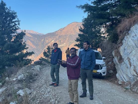
Satellite early warning system for natural hazards - SLF researchers train Indian specialists to better model natural hazards in the Himalayas and prevent disasters. #SLF #RemoteSensing #NaturalHazard #SDC #WSL

https://nachrichten.idw-online.de/2025/03/19/satellite-early-warning-system-for-natural-hazards

Satellite early warning system for natural hazards

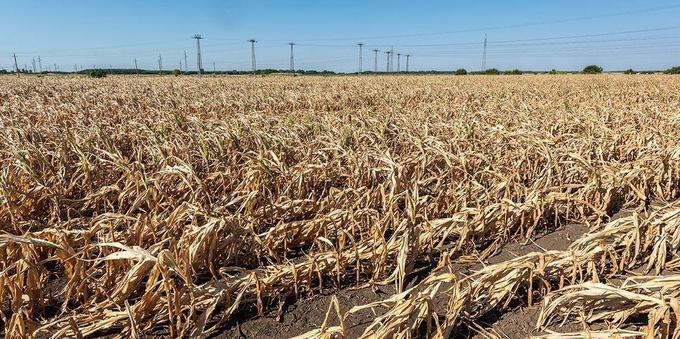
For those looking to help address the impacts and root causes of extreme heat, the recent World Economic Forum white paper, “Insuring Against Extreme Heat: Navigating Risks in a Warming World” may be of particular interest: https://www.weforum.org/publications/insuring-against-extreme-heat-navigating-risks-in-a-warming-world/ 

#ClimateChange #ClimateRisk #NaturalHazard

I'm going to take advantage of the current #eruption on Mt #Etna to discuss some of the challenges of #modelling #lava flows. Buckle up (or just silence me) because this is going to be a long thread.

First of all, why do we want to model lava flows? The answer most definitely isn't «because we can», since —as I'm going to explain momentarily— we actually cannot. Still having an idea about how lava flows and sets in place is a powerful tool for the assessment (and possibly mitigation) of the associated #hazard and #risk: if we can tell how lava flows, we can tell which areas are going to be reached by the lava, and hopefully also improve the design of tactical and strategic actions that can be taken to minimize the damage.

(Of course, whether or not those actions will then be taken is an entirely different matter, but that's mostly politics, not science.)

1/

#MtEtna #modelling #simulation #CFD #NaturalHazard #hazardAssessment #riskAssessment #riskMitigation