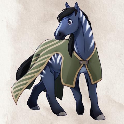
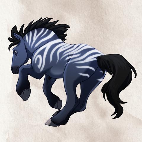
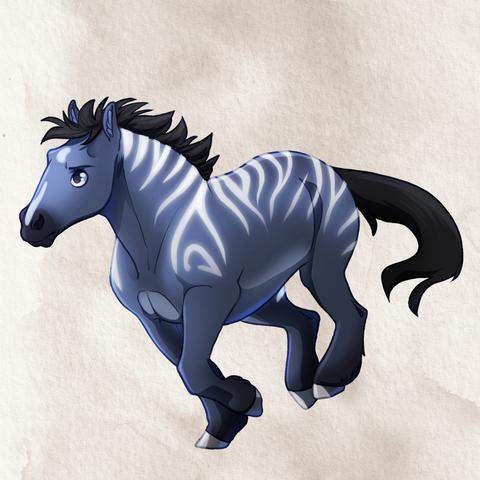
Three little Kazim sticker designs.
I've had a blast figuring out how to chibify horses, without tapping into MLP:FiM too much. (Those are a great stylisation of horses, with a utilitarian approach for an easier animation pipeline, but they're not something I wanted to mimic.) I might still need some refining here and there, but for an early-ish attempt I like them!
Get these stickers as part of the mail club over on ko-fi during the month of May. https://ko-fi.com/sophiepf
#originalcharacters #illustration #digitalart #drawing #recentia #painting #oclore #kazim #horse #chibi #stickerdesigns #sentinel