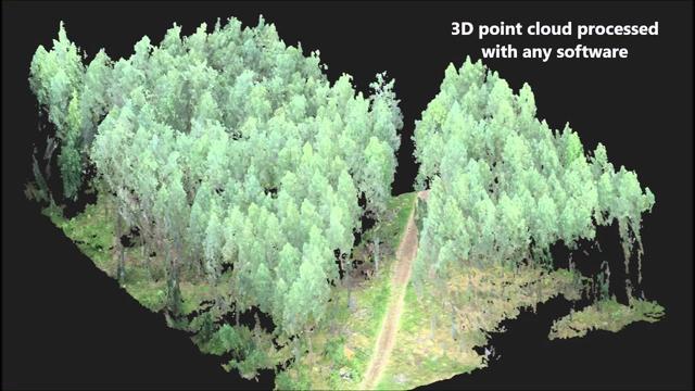
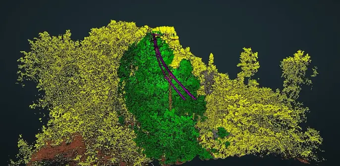
GitHub - bmcgaughey1/USGSlidar: A collection of functions to browse lidar data collections, query collections for coverage for specific locations, and retrieve data covering locations.
A collection of functions to browse lidar data collections, query collections for coverage for specific locations, and retrieve data covering locations. - bmcgaughey1/USGSlidar
Inflation Reduction Act accelerates USGS effort to collect high-resolution data of landscapes across 25 states | U.S. Geological Survey
Over $6 million in funding will support the USGS goal of nationwide high-resolution 3D data coverage.
The 3D Elevation Program—Supporting Idaho’s economy
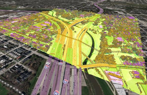
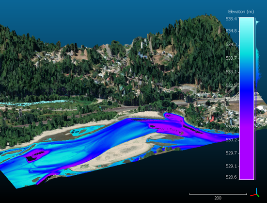
Due to Idaho’s inland location approximately 350 miles from the Pacific Ocean and its 80 recognized mountain ranges, the State’s climate varies widely, with maritime influence in the northern and western parts of Idaho and continental influence on the eastern side. The weather in the abundant mountains is unpredictable and often associated with natural hazards such as severe thunder and lightning storms leading to flooding, landslides, and wildfires. Issues important to Idaho’s economy include river, stream, and forest resource management, and infrastructure and construction management. Idaho participated in the U.S. Geological Survey 3D Elevation Program (3DEP) in 2016, the State’s first 3DEP project. The success of this project led to development of the Idaho Statewide Lidar Plan. Critical applications that meet the State’s management needs depend on light detection and ranging (lidar) data that provide a highly detailed three-dimensional (3D) model of the Earth’s surface and aboveground features....

The Accuracy and Consistency of 3D Elevation Program Data: A Systematic Analysis
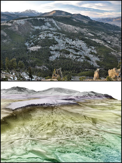
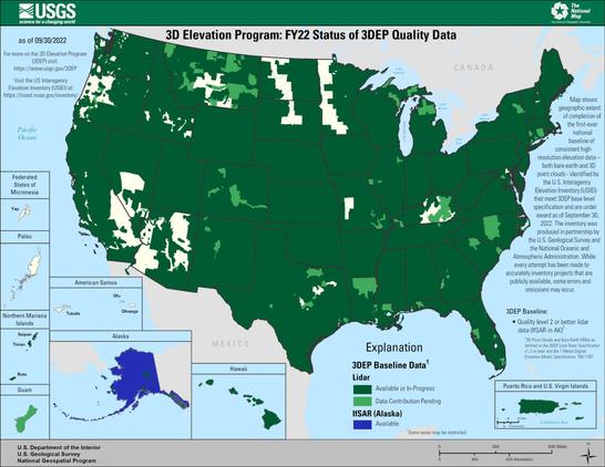
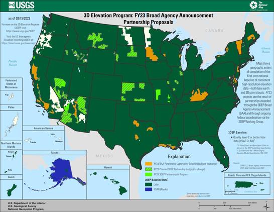
The 3D Elevation Program (3DEP) has created partnership opportunities to increase the collection of high-resolution elevation data across the United States, eventually leading to complete coverage of high-resolution, three-dimensional (3D) information from light detection and ranging (lidar) data across the entire country (interferometric synthetic aperture radar in Alaska). While 3DEP data are collected at different times and by varying producers, the assumption is that the use of the 3DEP Lidar Base Specification will provide standardized and consistent data across data collections. Another assumption is that the integration of lidar data into the seamless digital elevation models increases the accuracy of the derived products. This study tests these assumptions and updates some of the accuracy metrics that were done on previous versions of the standard products.