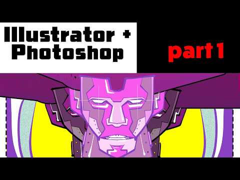
My goal is to be more proficient with Illustrator, so that I can meld it with my raster based illustration work.
In the video, I start with two basic techniques.
My goal is to be more proficient with Illustrator, so that I can meld it with my raster based illustration work.
In the video, I start with two basic techniques.
Čia toks įdomus projektas bręsta: free and open source vector graphics editor and animation engine, now in alpha.
Siekia tapti one app to rule them all: graphic design, motion graphics, image editing, digital painting, page layout and print, VFX compositing.
Day 73. Night Lights 🌌
For the Raster theme, I built a realtime night Earth scene in Three.js/WebGL using layered glow, a subtle atmosphere shell, and bloom compositing to bring out urban corridors. Interaction stays lightweight with slow auto-rotation and play/pause control.
Base map reference: "Lights Heatmap". Data references: GPW v4, NOAA Average Lights X Pct, ASTER GDEM.
🔗 https://maptheclouds.com/playground/30-day-map-challenge-2023/night-lights/
#100DayMapChallenge Day 73/100
#ThreeJS #WebGL #GLSL #Raster #Cartography #Animation
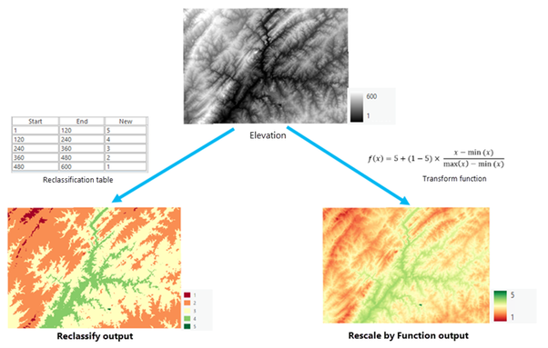
Transforming #Raster #Data with Continuous Functions in #ArcGISPro https://tinyurl.com/3pvfkkaz
#images #imagery #GIS #esri #arcgis #GISchat #geospatial #analysis @esri @esrislgov @arcgispro @esritraining @urisa
The supercells package creates compact and homogeneous regions from raster data, to aid interpretation, visualization and modeling, with noise reduction and preserving spatial structure #raster-data
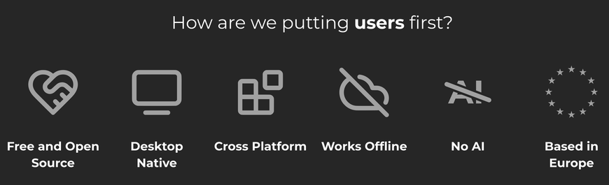
I'm checking PixiEditor and it's doing much better than a couple of years ago.
Drawing with vectors right next to Pixel Art, next to regular image editing is wild, and I haven't even tried the procedural art yet.
Also, the No AI stance right there in the site's home screen 👌 That's what I want to see.
#software #noAI #pixelArt #proceduralArt #vectorArt #raster #foss #floss #linux #digitalArt