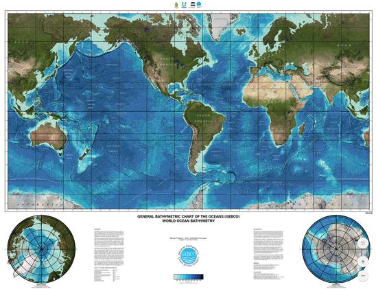
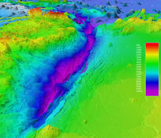
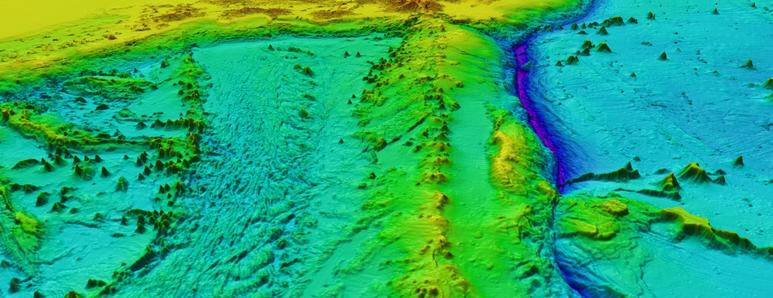
with #postgresql #postgis rasters and #charts https://chartscss.org/ https://github.com/docteurklein/httpg/blob/cae042e1e9357bc538e0e61ea6dd47ec72c588f9/gps/sql/view.sql#L151
🗺️ Map showing Land Cover of South America (2020)
From the vast Amazon 🌳 to the Andes 🏔️ and farmlands 🌾 — this map reveals how land is used across the continent.
📊 Data:
@mapbiomas
@gebcobathymetry
#GIS #GEBCO #QGIS #Blender #gischat #Cartography #OpenData #SouthAmerica
#30DayMapChallenge day14: Europe
🏛️IMPERIVM ROMANVM ⚔️ #Map of the #RomanEmpire 🏺 #Opendata Digital Atlas of the Roman Empire #DARE @JohanAhlfeldt
⚱️ #GEBCO 🌊 #macarte #edugeo #SPQR
📜 online map ➡️ https://macarte.ign.fr/carte/Cr5MpI/IMPERIVM-ROMANUM
🐦🔗: https://twitter.com/jmviglino/status/1724321250950967346
In our first episode Head of Partnerships Steve Hall introduces Seabed 2030 with a summary of the history of mapping the ocean floor from earliest times to the present day. At 11m 12s Steve introduces this month's guest, David Millar of Fugro. Dav...
ARGANS has years of experience in analysing the factors limiting light transmission in coastal environments around the world. This has led its Satellite-Derived Bathymetry (SDB) team to the conclusion that current satellite instruments and their resolution are unable to provide the absolute precision required for safe navigation according to International Hydrographic Bureau (IHO) standards, except in the clearest of waters characterised by sufficiently well-defined environmental parameters. This limitation is caused by the variability itself of the parameters in the radiative transfer equation (RTE), which is too high to provide results within the strict accuracy ranges of IHO S.44, as shown by scatter plots characterised time and again by large biases and standard deviations of several metres. The radiative transfer equation and Hydrolight simulations are not at fault, but their results must be interpreted with extreme caution if the level of accuracy required for safe navigation over large areas is to be guaranteed. Therefore, ARGANS has developed an innovative, alternative method. This is based on the classification of the full range of images pixels allowing for homogeneous sub-areas to be determined and linked together by artificial intelligence and statistical clustering of similar parameters. Thanks to the sponsorship of the European Space Agency and Seabed 2030, ARGANS has been able to test its Water Column Parameter Estimator (WCPE), first in the challenging waters of Madagascar updating over 1000 km of lead line exploratory surveys, then in the South Pacific coral environment and then in the turbid coastal water of Qatar. The parameters determined by WCPE can be extrapolated to unknown regions of similar environment and propagated from one place to the next, using a chain method somewhat inspired by photogrammetric techniques of old. Further progress and automation can be expected from an improved control of sediment plumes that can obscure or distort all optical methods, whether satellite or LIDAR.