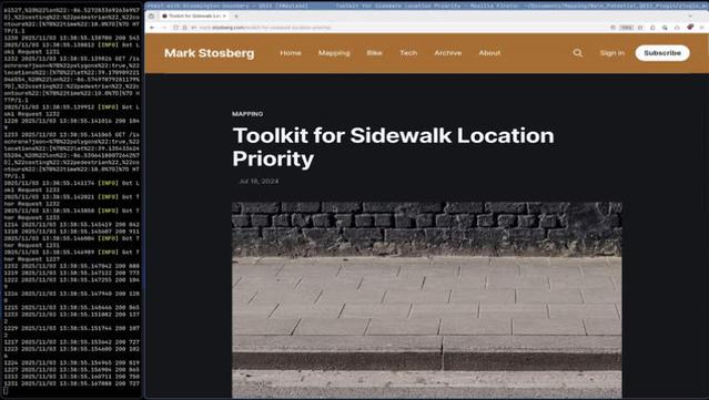
@cargot_robbie I've posted an updated demo video of my QGIS "Walk Potential" plugin and published the code to Gitlab.

The latest version uses a free isochrone service by default. No dependencies, subscriptions, or licenses required!

Demo: https://urbanists.video/w/kNht44gXqiN2w95ZhxQRVW
Code: https://gitlab.com/markstos/qgis-walk-potential
Example of how a pedestrian demand metric is useful for finding locations to prioritize sidewalk funding: https://mark.stosberg.com/toolkit-for-sidewalk-location-priority/
#gis #qgis #mapping #openstreetmap #python

QGIS Walk Potential Plugin now on Gitlab

PeerTube
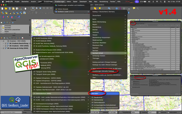
Ich muss den Support vom @geoObserver in Bezug auf den #Geobasis_Loader mal loben. ★★★★★ #qgis #switch2qgis
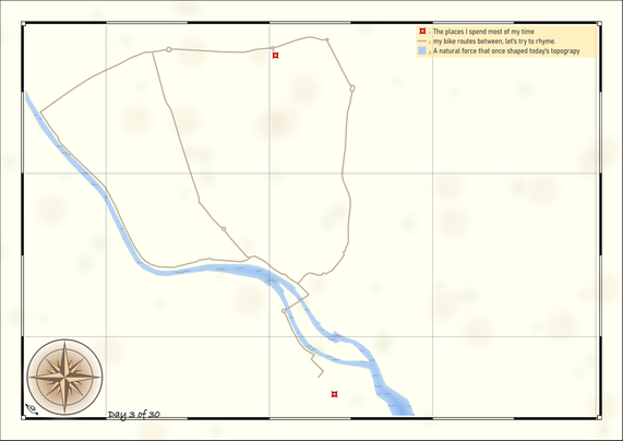
Day 3 of the #30DayMapChallenge
Is it a polygon with a hole, or is it a polygon inside another?
#30daymapchallenge #polygons #qgis
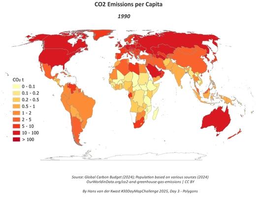
#30DayMapChallenge Day 3: polygons 🌍 Busy day, but I made an animated map of CO₂ emissions per capita using data from @ourworldindata.org. Tools: #QGIS #GIMP. Tutorial: courses.gisopencourseware.org/mod/book/vie... @gisopencourseware.bsky.social. #GIS #OpenData

#30DayMapChallenge Day 3: polygons
🌍 Busy day, but I made an animated map of CO₂ emissions per capita using data from @ourworldindata. Tools: #QGIS + #GIMP. Tutorial at @gisocw: https://courses.gisopencourseware.org/mod/book/view.php?id=1013

Sad to see climate change ignored in Dutch elections. We must refocus and cut emissions drastically to avoid disaster!

#GIS #OpenData

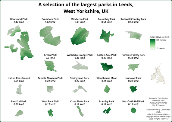
Some of the largest parks in Leeds, West Yorkshire showing polygon area and topography. There's more I'd like to do, but this has already taken way too much time.
#30DayMapChallenge day 3: Polygons. #OpenStreetMap, Lidar data. Created in #QGIS and #Inkscape .

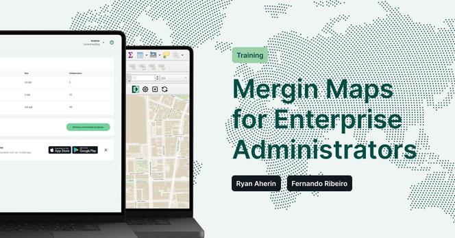
Mergin Maps for Enterprise Administrators Training

Join our one-day online training designed for enterprise admins and #GIS teams.

🗓️ 19 November 2025 | 💶 €400 per seat | 👥 Limited to 12 participants

Learn how to:
✅ Set up and configure Mergin Maps (Community or Enterprise)
✅ Manage users, projects, and integrations with #QGIS
✅ Apply best practices for reliable, secure deployments
✅ Trained by: Fernando Ribeiro & Ryan Aherin

Register here: https://www.lutraconsulting.co.uk/training/mergin-maps-for-enterprise-administrators

QGIS to (Geo)Pandas follow-up

The conversation around Looking for better ways to convert between QGIS VectorLayer and (Geo)DataFrame is continuing over at What I’ve learned so far: QgsVectorLayer.as_geopandas() has landed…

Free and Open Source GIS Ramblings

@ianthetechie Glad to share.

The QGIS plugin for Walk Potential has been published on Gitlab now.

Currently waiting for credentials to upload to the QGIS plugin repo.

I tried to record an updated screencast tonight, but somehow there was no audio even though the test recording worked. 🤦‍♂️

https://gitlab.com/markstos/qgis-walk-potential

Anyway, more context of how a pedestrian demand metric might be used is here:

https://mark.stosberg.com/toolkit-for-sidewalk-location-priority/
#qgis #mapping #openstreetmap #urbanplanning

Mark Stosberg / qgis-walk-potential · GitLab

GitLab.com

GitLab