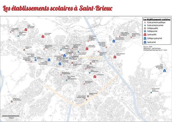
Les établissements scolaires à Saint-Brieuc
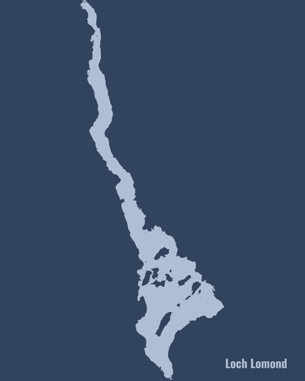
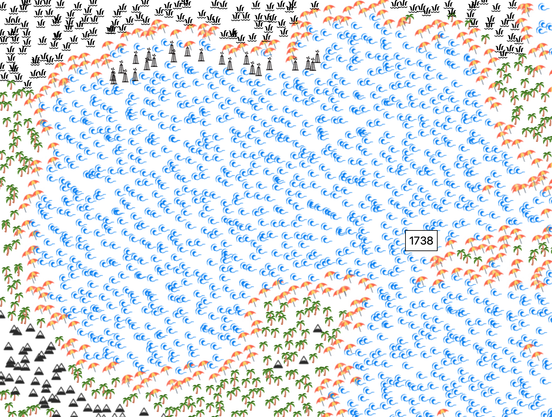
For day 20 of the #30DayMapChallenge the prompt was "water", so here's the OpenStreetMap non-analog version of day 9's map of Loch Lomond!
#30DayMapChallenge - Jour 21 – Icônes
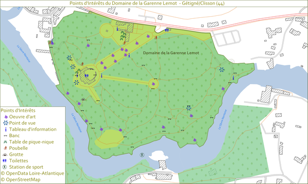
Carte des Points d’Intérêts du Domaine de la Garenne Lemot (Gétigné, Clisson en Loire-Atlantique).
Données :
• Points d’intérêts : OpenData Loire-Atlantique
• Données de fond : OpenStreetMap
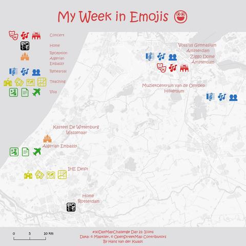
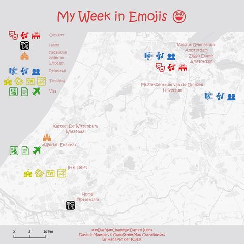
#30DayMapChallenge Day 21: Icons
Mapped my week with emojis
📍 IHE Delft: Mon-Wed teaching #GIS
🎼 Amsterdam: Wed rehearsal with Nederlands Concertkoor (Mahler 8 + Night of the Film Music)
🎻 Hilversum: Thu rehearsal with Metropole Orkest
🏰 Wassenaar: Reception at a castle for celebration of Anniversary of the Revolution with Algerian Embassy
🛂 The Hague: Picked up visa for Algeria, ahead of next week’s water seminar
🎶 Amsterdam (Ziggo Dome): Singing all weekend in Night of the Film Music
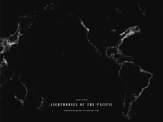
#30DayMapChallenge · Day 21 · Icons. Lighthouses of the Pacific. Yes...I've done lots of lighthouse maps but not in this projection. I still like it—there's nothing like path-traced points of light realistically rendered.
#rayshader adventures, an #rstats tale
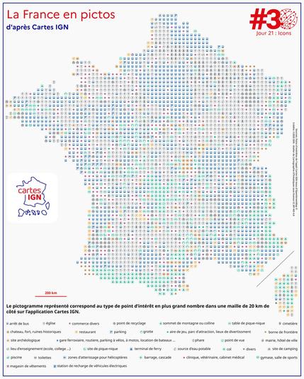
La France en picto
On a redessiné la carte IGN avec les pictos de Cartes IGN !
https://www.ign.fr/appli-cartes-ign
#30DayMapChallenge – J21 Icons
Retrouvez l'ensemble des créations des collègues : https://www.ign.fr/mag/30DayMapChallenge-30-jours-30-cartes-pour-celebrer-la-creativite-cartographique
✍️ Simon De Jaeghere
📊 POI de l'appli Cartes IGN issus @osm_fr


