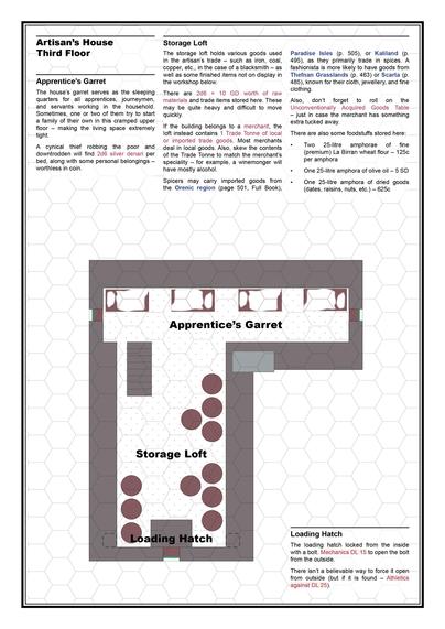
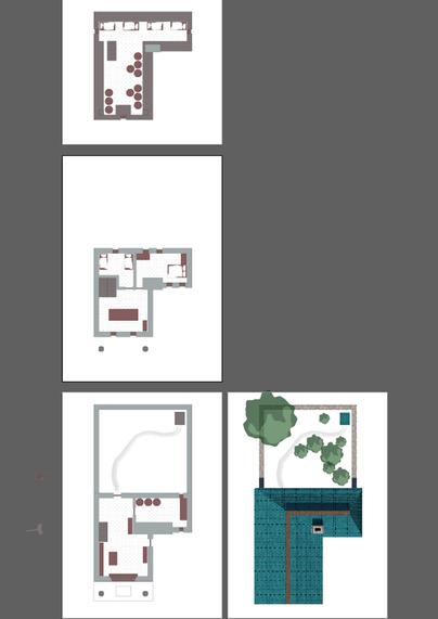
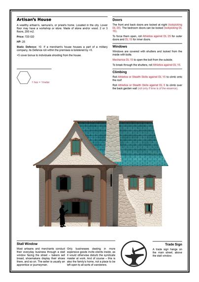
Artisan's House is evolving - got really sidetracked with it - now there is a 7-page Artisan House file....

Will probably add it to the Map Pack as a battlemap-short assassination track-lootable place for thief PCs.

#sakerpg #ttrpg #osr #nsr #dnd #fantasy #fantasyeconomy #rpg #map #battlemap #3d

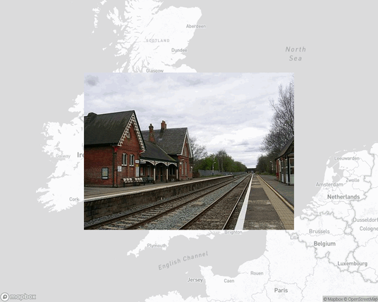
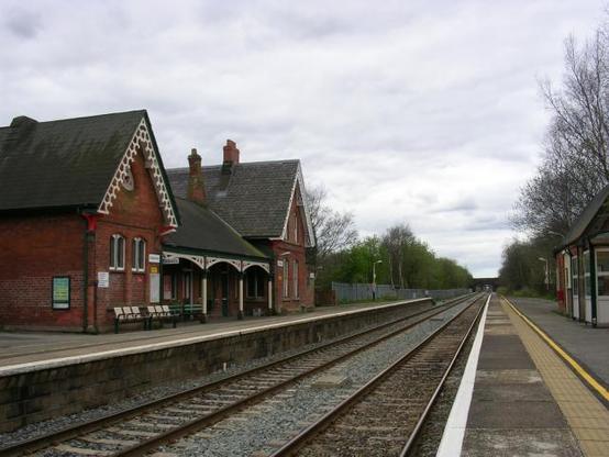
Glazebrook railway station, railway station in Rixton-with-Glazebrook, Warrington, Cheshire, England, UK.

https://en.wikipedia.org/wiki/Glazebrook_railway_station

#trains #TrainStations #map

Glazebrook railway station - Wikipedia

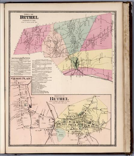
Town of Bethel, Fairfield Co. Conn. Grassy Plain, Borough of Bethel. https://www.davidrumsey.com/luna/servlet/detail/RUMSEY~8~1~256690~5520522

#map #maps #HistoricalMaps

Town of Bethel, Fairfield County, Connecticut. Grassy Plain, Borough of Bethel.

Atlas Of New York And Vicinity From actual Surveys by and under the direction of F.W. Beers, assisted by Geo. E. Warner & others. Published By F.W. Beers, A.D. Ellis & G.G. Soule. Assistants F.S. Fulmer & Others. 95 Maiden Lane, New York. 1867. Entered ... 1867 by Beers, Ellis & Soule ... New York. Engd. by Worley & Bracher, 320 Chestnut St. Philada. Printed by James McGuigan, Cor. 3d & Dock Sts. Phila.

French Polynesia - Wikipedia

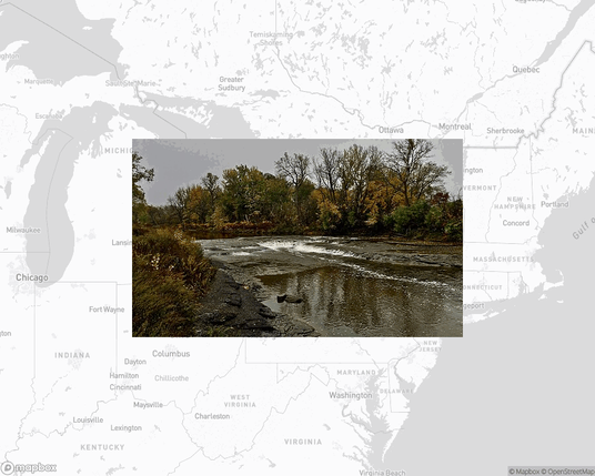
Cazenovia Park, park in the United States of America.

https://en.wikipedia.org/wiki/Cazenovia_Park

#park #parks #outdoors #map

Cazenovia Park–South Park System - Wikipedia

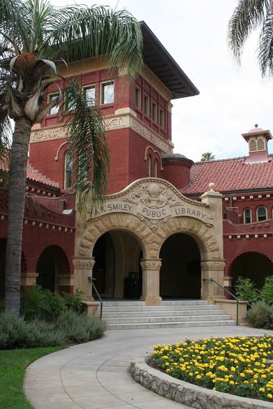
A. K. Smiley Public Library, public library in Redlands, California, USA.

https://en.wikipedia.org/wiki/A._K._Smiley_Public_Library

#libraries #books #map

A. K. Smiley Public Library - Wikipedia

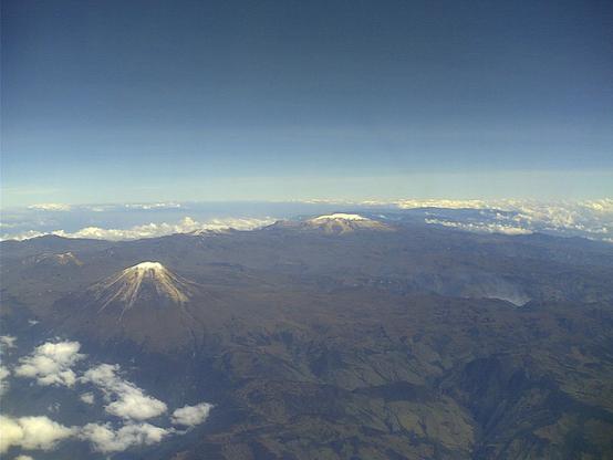
Los Nevados National Natural Park - Wikipedia

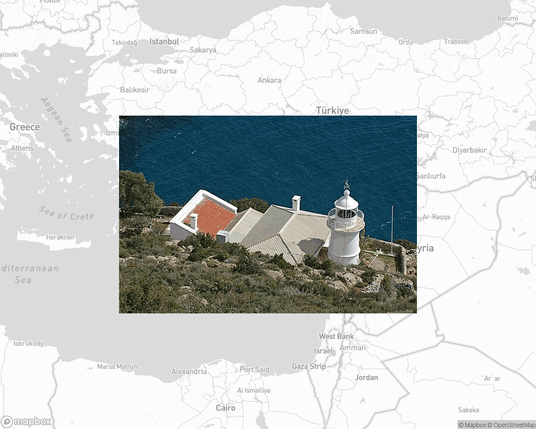
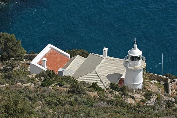
Anamur Lighthouse, lighthouse in Anamur, Mersin, Turkey.

https://en.wikipedia.org/wiki/Anamur_Lighthouse

#lighthouse #map

Anamur Lighthouse - Wikipedia

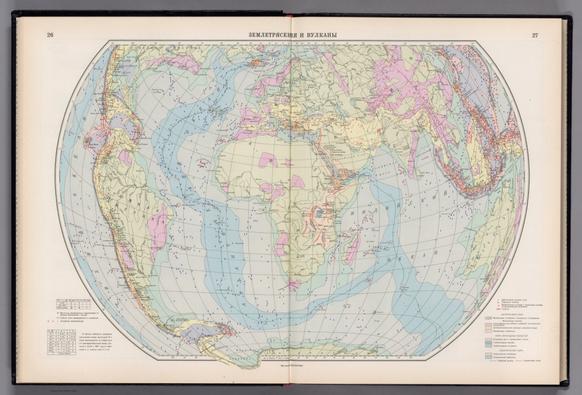
Zemletryaseniia i Vulkany. (to accompany) Atlas okeanov : Atlanticheskiy i Indiyskiy Okeany 1977. https://www.davidrumsey.com/luna/servlet/detail/RUMSEY~8~1~354760~90121727

#map #maps #HistoricalMaps

Zemletryaseniia i Vulkany

1974 - 1980. Three volumes produced by the USSR War Department =Ministerstvo oborony Sovetskogo Soyuza, with volumes on the Pacific Ocean= Tikhiy okean (1974), the Atlantic and Indian Oceans = Atlanticheskogo i Indiyskogo okeanov (1977), and the Arctic Ocean= Arkticheskiy sever led okeana (1980). This is 1977 Atlas of the Atlantic and Indian Oceans. Contains xiv pages of title, introduction, contents, legend, abbreviations and 306 pages of detailed thematic maps, including chapters with descriptive text in geomorphology, climate, hydrology, geology, topography, history of exploration, navigation and biology. Most maps are double page, some with inset maps, illustrations, and diagrams and graphs. Maps showing navigation routes, distance, boundaries and major ports. Relief shown by hachures and shadings. Depth shown by bathymetric tints, isolines and soundings. Prime meridian is Greenwich. Atlas includes 27 pages of index “Ukazatel’”, additional page of legend and abbreviation on separate sheet, and editorial board information dated “10.02.1977 g. Tirazh 25000 akz Zakaz No. 627” at the end. Paper dust jacket over hard cover with title in gilt on front cover and spine, and embossed USSR coat of arms on front cover.
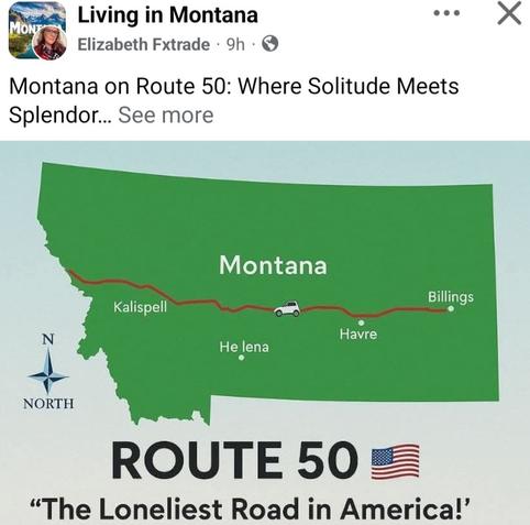
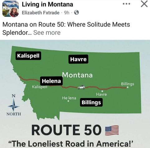
It's a Montana Monday, and nothing gives me more trust issues than AI and its nonsense. This "Living in Montana" Facebook talks about Route 50 going through Montana (it goes through NV, UT & CO among many others). I labeled those cities where they ACTUALLY belong, too. 😑🙄😄

#Montana #Kalispell #Helena #Havre #Billings #map #geography #AI #nonsense #Monday