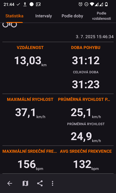
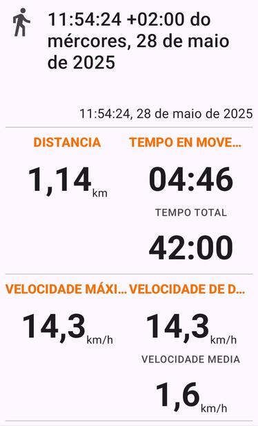
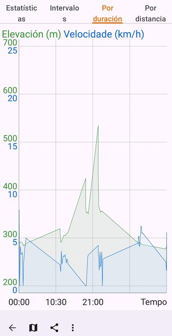
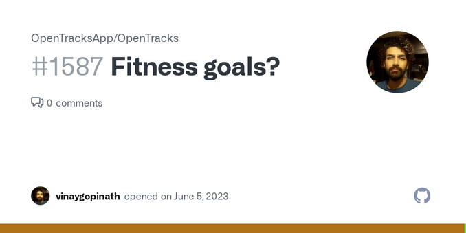
Dneska jsem shodou okolností zjistil, že se mi podařilo u #BoneConduction sluchátek #Mojawa #HaptiFit Terra propojit snímač tepovky s #OpenTracks

Stačí se připojit k zařízení "HT" a o zbytek se postará appka.

Nenechte se zviklat tím, že zpočátku nic nehlásí - chce to čas, chytne se.

Hey peps,

I could use some testing for a maintenance change in #OpenTracks.
This is mainly the export and the automatic export (instant post-workout export).

Everything should be working, but i would love to get some feedback on this as breaking the export is a huge pain.

Code is here: https://github.com/OpenTracksApp/OpenTracks/pull/2125

Workmanager#1315 by dennisguse · Pull Request #2125 · OpenTracksApp/OpenTracks

Replaces the JobIntentService (at least 4 years deprecated) with the WorkManager. This affects: export (including post-recording exports) import track deletion.

GitHub

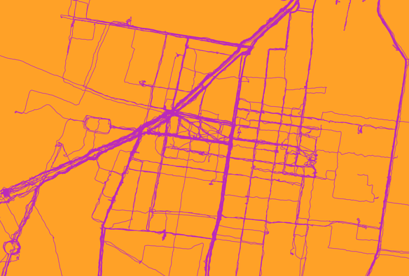
#Visualizing #biking (and some #walking) routes. #OpenTracks for the #gps #mapping. #Qgis for the render. Had trouble with the #kml and #kmz formats but #gpx worked fine. Cropped in #gimp

/////////////////

#Visualizando rutas de #bici (y un poco de #caminar). Usé OpenTracks para el gps y Qgis para el render. No me funcionaron los formatos kml o kmz pero gpx si.

#opensource #foss #badsecurityculture

#android #FOSS folks, is there a gap in the automated #DataExport / #backup space?

I use #OpenTracks to track fitness activities (it's not quite the Google Fit replacement I was hoping it would be: See https://github.com/OpenTracksApp/OpenTracks/issues/1587) and #OsmAndMaps, and I use Nextcloud. However, backing up my cycling/walking/running tracks from OpenTracks and my bookmarks from OsmAnd to Nextcloud requires manual action.

If this is indeed a gap, I was thinking of putting up an open source recurring automated data export protocol for public comment.

1. Any data producing app (like OpenTracks) can include a small library that implements the protocol, allowing users to define the automated recurring data export frequency, how many old backups to keep etc.
2. Any data backup app (like Nextcloud) can include a different library that broadcasts an intent at a regular frequency that all protocol-compliant data producing apps can handle. When the broadcast is received, data producers can generate/hand over the file(s) to be backed up by the data backup app.

I'm tempted to build a #WebDAV-compliant open source app as well (as an example of a protocol-compliant data backup app) but that might be a grand undertaking.

Thoughts?

#DataSovereignty #decentralization #androiddev #opensource #OSM
Fitness goals? · Issue #1587 · OpenTracksApp/OpenTracks

Is your feature request related to a problem? Please describe. "As a former user of Google Fit, I miss not being able to set a fitness goal and track how I'm doing". Question on the direction/futur...

GitHub

J'ai testé l'application OpenTracks (trouvée sur FDroid) pour enregistrer des traces GPS. Le hic c'est qu'elle ne gère pas les tunnels. Donc il y a un segment avant, un segment après, mais pas d'option pour extrapoler une ligne entre les deux. Les autres applications font comment ?
Bon en vrai ce n'est pas bien grave parce que le but c'est plutôt de mémoriser les sentiers quand je pars pédaler le nez au vent. Mais c'est quand même dommage.

#vélo #gps #OrganicMaps #Osmand #OpenTracks

@ftregan

J'utilise #OpenTracks @opentrack @Mastodon.social , avec en plus “OSM Dashbord (Offline)„ pour avoir une carte. (J'ai galéré à configurer d'une les deux.)
https://opentracksapp.com

Sinon, le greffon « enregistrement d'itinéraires » sur OSMAnd.
https://osmand.net/docs/user/plugins/trip-recording/

#marche #randonnée #10000pas #wellness #app

OpenTracksApp

OpenTracks is a sport tracking application that completely respects your privacy.

Meine #MTB Fahrten tracke ich mit einer Smartwatch über GPS. Die gpx Datei exportiere ich von #Gadgetbridge zu #Opentracks.
Durch das #OSMDashboard für open tracks kann ich eine offline Karte anzeigen lassen.Es fehlen leider Höhendaten und Steigungen in der vorhandenen Karte. Vermutlich gibt es Karten des Schwarzwaldes (insbesondere Region Freiburg), die solche Daten dabei haben? #openstreetmap ? Wo finde ich die? Hat mir da vlt jemand eine Quelle? Oder Idee?
@mastobikes_de

edit: also, mein Ziel: nämlich die Steigungen an bestimmten Stellen meines gefahrenen Tracks zu analysieren ist wunderbar mit #OSMand zu erreichen.

Einen exportierten gpx track kann ich dortdirekt importieren und Details anzeigen lassen.

Der Lösungsansatz via #opentracks und #OSMDashboard ist hinfällig bzw nicht notwendig.

Vielen Dank! für die vielen Hinweise und Ideen, die schlußendlich die richtige RIchtung wiesen.

OpenTracksApp

OpenTracks is a sport tracking application that completely respects your privacy.

Annoying message with GPS disabled · Issue #2058 · OpenTracksApp/OpenTracks

Describe the bug If I only want to record my heart rate with a Bluetooth chest strap (my hardware SmartLab hrm W) without activating GPS, as I don't need it in this case, the error message is displ...

GitHub