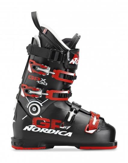
Archiv: Die #Nordica Neuheiten für die Ski-Saison 2015/2016 https://www.sports-insider.de/die-nordica-neuheiten-fuer-die-ski-saison-20152016-16248/ #GPX #ISPO #FelixNeureuther #Dobermann #Ski #Belle #Skischuhe #FireArrow
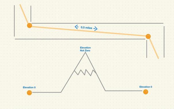
Is there a well known method in #python to take a #gpx course and draw the tangents or the geometric shortest path as well as the longest?
Would like to be able to draw also scenarios like: “keeping left” all the way or “keeping right” and calculate the distance.
Any pointers appreciated!! Thanks in advance


Just discovered https://gpx.studio, what an amazing tool for generating gpx tracks!
No ads, free and opensource, and everything's happening in your browser.
Check it out for preparing your next hiking or cycling journey, and don't forget to support this project with a donation if you can!

#PhotoMai2026 #PhotoMay2026
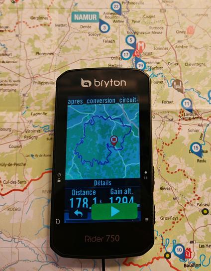
Jour 12 : #Carte
#RoadTrip #Vélo #Cycloutouriste #Ardennes #France #Belgique #GPX #CompteurGPS
Buenas, enciendo de nuevo la masto-señal 🐘🦸♀️ para preguntar si conocéis páginas con rutas descargables en formato GPX, TCX y KML.
He creado una app para seguir rutas de #senderismo https://f-droid.org/packages/com.hito.trails.app/ #trailshito y en la próxima actualización incluiré una nueva pantalla con una listado de recursos de #rutas, para que el usuario pueda encontrar información en la propia app y sea un poco más usable.
Si sabéis de alguna web os agradecería que me la pasáseis, no me importa el país, aunque le daré prioridad a España y Portugal. La idea es organizarlas, por país y región.
Os agradezco mucho también si hacéis retoot para que le llegue a más gente 😊 🙌
#montaña #montanha #rotas #trails #mountain #hiking #gpx #tcx #kml


@CoMaps
Guten Abend,
Ist es richtig, dass derzeit (noch) keine Navigation mit importierten GPX-Routen möglich ist?
Ab wann könnte diese Funktion zur Verfügung stehen?
Möchte Eure App als Ersatz für Komoot nutzen :-)