Paul Magdon

@pmagdon@academiccloud.social
8 Followers
38 Following
15 Posts

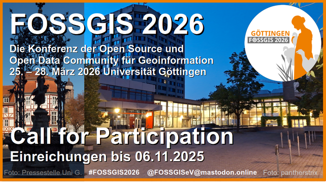
#FOSSGIS2026 eröffnet den Call for Participation: https://fossgis-konferenz.de/2026/callforpapers/

Beiträge können bis zum 6. November 2025 eingereicht werden.

In Form von Vorträgen, Lightning Talks, Demo-Sessions, Workshops, Anwendertreffen, spontanen Treffen, Expert:innenfragestunden, Postersession oder Studierendenbeiträgen bietet die Veranstaltung die Möglichkeit, Wissen zu erweitern und sich zu vernetzen.

#FOSSGIS #OSGeo #OpenStreetMap #OpenData

@unigoettingen

Today we released the first version the new QGIS-Plugin "TrailScan" at #fowita2025 conference in #freiburg

You can directly install it from the offical QGIS-Plugin repository:
https://plugins.qgis.org/plugins/TrailScan/#plugin-about

The plugin applies a CNN-Model to automatically map skidding trails, caused by forestry maschinery, using #ALS point clouds.

For more details see:

https://github.com/GISLAB-HAWK/TrailScan-QGIS-Plugin

#forestry #lidar #gischat #remotesensing #fowita2025 #qgis @hawk_hochschule

Everything prepared, for another round of practical exams in #forstinventory in a beautifull autum forest setting. Looking forward to meet the #forestry students from @hawk_hochschule in Göttingen.

Unlocking the hidden biodiversity of Europe’s villages!

Is it better for #Wellbeing if your village is near a city or a farm or a forest? And which is better for #Biodiversity? An international research team led by HUN-REN Centre for Ecological Research and including our Uni studied how surrounding landscapes affect people and nature in villages: https://www.uni-goettingen.de/en/3240.html?id=7861

Research in #NatureSustainability: https://doi.org/10.1038/s41893-025-01592-y
#HumanWellbeing #Urbanization #Agroecology

After 26 years in orbit Landsat 7 sent its final transmission yesterday June 4, 2025.
https://www.usgs.gov/landsat-missions/news/a-final-farewell-landsat-7

#USGS #NASA #Landsat #Landsat7 #remotesensing #GIS #imagery #satellite

NeuSoM Step-by-Step Anleitung.pdf

TU Berlin - Wir haben die Ideen für die Zukunft. Zum Nutzen der Gesellschaft.

TU Berlin

🌍 Calling all future geospatial innovators! 🛰️
📅 Application Deadline for Self-Financed Students: 31 May
👉 How to apply:
https://mastergeotech.info/how-to-apply/on-line-application/
Successful candidates will be contacted by a host institution representative to finalize details.

🌟 Take the first step toward an exciting career in geospatial technologies! Apply now and join us in exploring the world through spatial data. 🌐
#GeospatialTech #GIS #Erasmus #MasterProgram #ApplyNow

Online application system - Mastergeotech

Welcome to the online application form for the Master of Science in Geospatial Technologies. The process requires a username and password. Register here.

Mastergeotech
Everything set for 2 days of exams in forest mensuration, training the future generation of foresters @hawk_hochschule in a nice beech forests of Göttingen.
😅 Beim Abendspaziergang diesen „Aushang“ an einem Baum entdeckt.

We're looking for a new team member to join our project ForestPulse

If you're ready to make an impact in the world of forestry and remote sensing, we want to hear from you!

🔍 Position: Researcher
📍 Location: Göttingen @hawk_hochschule 🔗 Apply Now: https://bewerbung.hawk.de/jobposting/3540024ae228dd6edb3ab788f581f3320b6f35930?ref=homepage

Be part of a collaborative team dedicated to remote sensing research.
#Lidar #geospatial #remotesensing #goettingen

Wissenschaftliche*r Mitarbeiter*in (m/w/d) im Bereich forstliche Fernerkundung