🌍 Why do students from the USA choose Europe for their Master's?
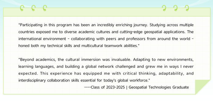
The Erasmus Mundus MSc in Geospatial Technologies offers a truly international experience:
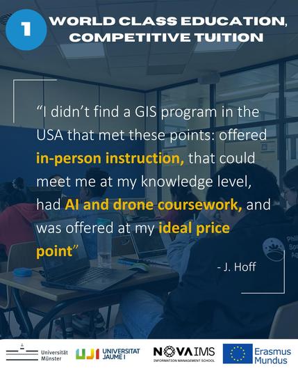
✨ Cutting-edge geospatial & AI expertise
🌐 Study across multiple European countries
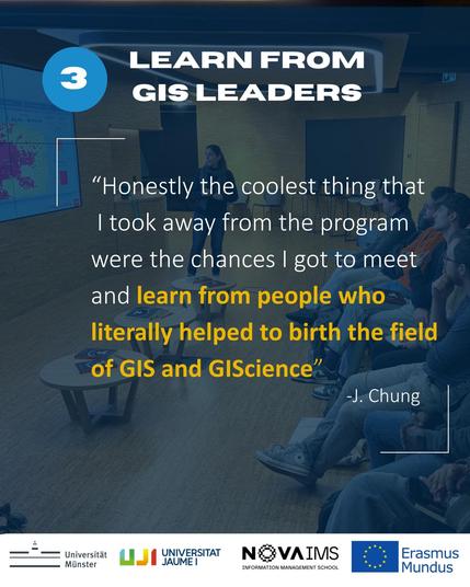
🤝 A diverse, global student community
💶 Competitive tuition fees
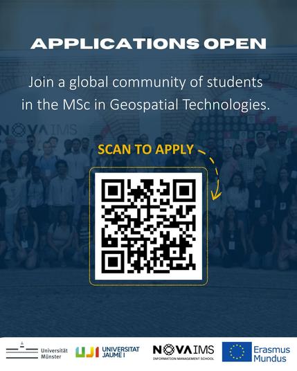
Applications are now open for the next intake!
👉 https://mastergeotech.info/
#ErasmusMundus #GeospatialTech #StudyInEurope #GIS #RemoteSensing #MastersProgram #OpenToApplicants