--
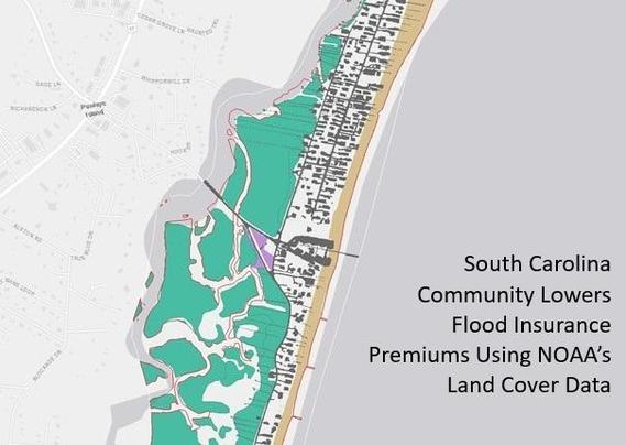
https://coast.noaa.gov/states/stories/landcover.html <-- shared technical article
--
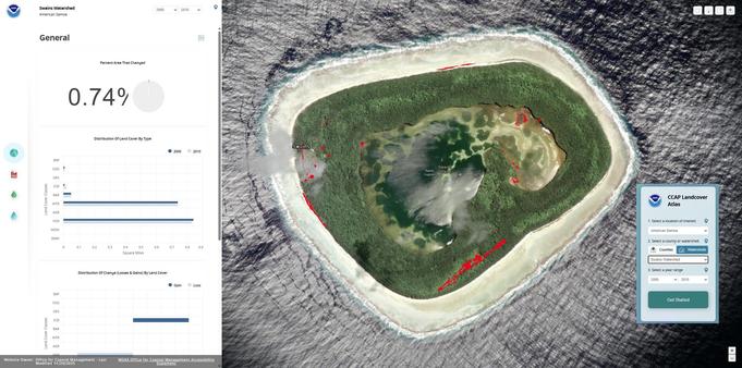
https://coast.noaa.gov/ccapatlas/ <-- on-demand, online NOAA CCAP Landcover Atlas
--
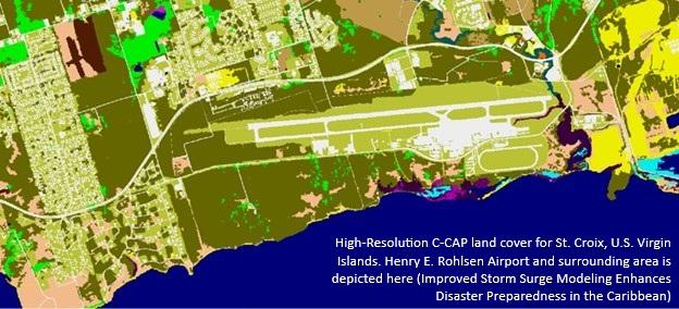
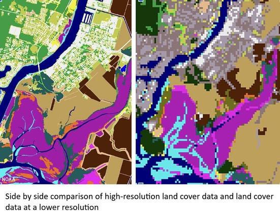
https://coast.noaa.gov/digitalcoast/data/ccaphighres.html <-- #opendata C-CAP High-Resolution Land Cover
--
Use Case Examples:
• Flood Inundation Modeling and Risk Assessment
• Stormwater Management and Water Quality Protection
• Heat Risk and Urban Forestry
• Wetland Monitoring, Conservation, or Restoration Planning
• Other – e.g., Discovering Gaps in Broadband Access
--
#GIS #spatial #mapping #NOAA #DigitalCoast #LandCover #CoastalManagement #GeospatialData #EnvironmentalData #ResilientCommunities #landcover #usecase #economics #remotesensing #earthobservation #opendata #floodinnundation #waterquality #water #hydrology #risk #hazard #spatialanalysis #spatiotemporal #stormwater #management #heatrisk #urbanforestry #wetland #monitoring #conservation #planning #resortation
@noaa #NOAAOfficeForCoastalManagement


