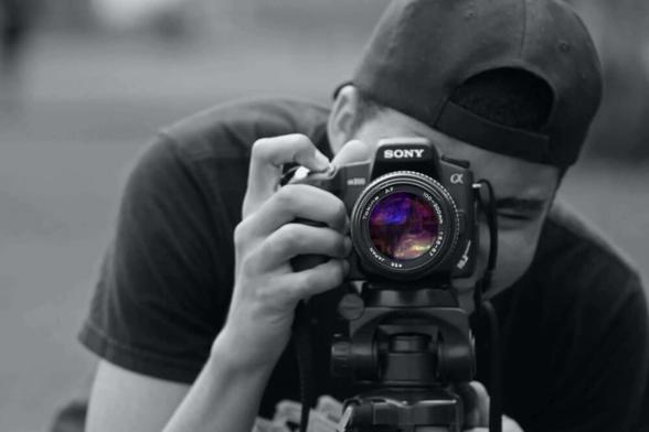
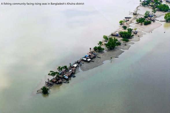
Is photography as an art form still relevant today?
Learn more about photography today in era of Mobile Phones, tablets and DSLR cameras.
https://mandarapte.com/artanddesign/is-photography-as-an-art-form-still-relevant-today/
Is photography as an art form still relevant today?
Learn more about photography today in era of Mobile Phones, tablets and DSLR cameras.
https://mandarapte.com/artanddesign/is-photography-as-an-art-form-still-relevant-today/


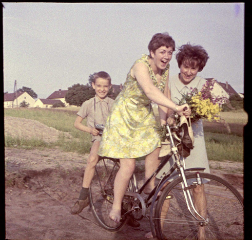
Das ist definitiv das erste Bild von mir mit einer #Kamera in der Hand.
Vermutlich hat es meine älteste Schwester gemacht. Offenkundig auf 6x6-Fim und in Farbe. Was noch nicht so gängig war Ende der 60er Jahre. Ziemlich teuer auch.
Die #35mm #SLR, die ich in der Hand habe, kam nicht aus unserer Familie. Sie gehörte sicher einer der Freundinnen meiner Schwestern.
Das Foto von mir wurde sehr wahrscheinlich mit einer Franka Solida III gemacht. Den Karton davon gibt es noch; die Kamera nicht.
@neonsnake
#Photography : are you old enough to remember #TLR s?
But yes, street photographers have tended to use 35mm range finder cameras before the #SLR was common, and after.
And plate cameras before that. Almost as conspicuous as a painter.
If asked what they are doing, saying "Art" seems to still go down quite well, as well as being true.
Round here people are slightly interested and moderately helpful. As one should be.
In Yangon, in the happy gap, they were rather pleased. #people
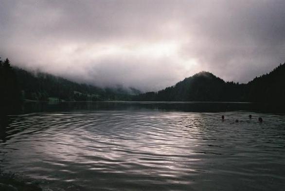
Somewhere in the mountains between Germany and Austria
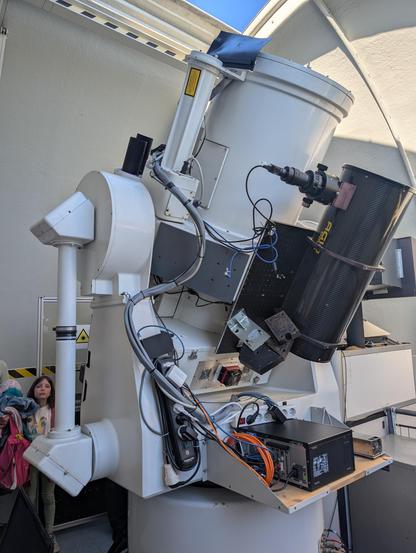
Sieht man in #Graz einen grünen 7cm breiten #Laserstrahl vom Observatorium #Lustbühel in den Himmel geschossen, kommt der entweder von dem dünnen weißen Rohr oben Mitte (mit gelb-schwarzem Aufkleber für Reflektoren auf #Satelliten) oder von einem der schwarzen Rohre links daneben (Weltraummüll, mit deutlich mehr Energie wegen der fehlenden Reflektoren).
Die Wissenschaftlerinnen zielen auf #Satelliten oder #Weltraummüll und bestimmen deren Entfernung auf bis zu 3mm genau, indem sie einzelne(!) zurückkehrende Lichtteilchen (Photonen) mit dem dicken weißen Rohr detektieren und durch Statistik und Korrelation von anderen Lichtteilchen unterscheiden.
#SLR nennt man das: Satellite #Laser Ranging. 🔭🛰️
https://de.wikipedia.org/wiki/Satellitenstation_Graz-Lustb%C3%BChel :graz