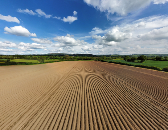
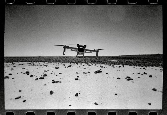
Flying drones, Black Desert, eastern Jordan 2025
Bessa L, Chroma Double Glass 24mm f11, Rollei IR 400
The tech has come a long way since I started doing this.
#BelieveInFilm #dronesforgood #Fieldwork


This is the kind of thing your model detects while conducting #drone/ #ai surveys for the #mojave desert #tortoise in a wildland/urban interface.

1️⃣
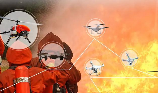
NYC explores drones for sanitation enforcement:
Address illegal garbage dumping & trash violations
Please enjoy this recording of my 2023 presentation at the Desert Tortoise Council annual symposium. We've made some improvements since then, but it's still a good introduction to the #mojave #deserttortoise survey method we have developed at Resi.
#drones #dronesforgood #aiforconservation #ai #computervision

Free downloads for iOS and Android are available through links at our website, https://theta.limited.
To get directly in touch with our developers, please email:
,with subject "Maui Wildfire Recovery". Support services provided gratis.
#mauifires #mauiwildfires #dronesforgood #publicsafety #disasterrecovery #gis #dronetechnology #dronephotography

Theta Informatics stands ready to assist with Maui Wildfire recovery efforts.
Our free software, #OpenAthena for Android, allows a precise ground location to be obtained from any point in an image taken by common #drones. This may be useful for quickly marking damaged buildings, structures, and infrastructure from aerial images taken by drones.
#Maui #mauifires #mauiwildfires #dronesforgood #publicsafety #disasterrecovery #gis #dronetechnology #dronephotography