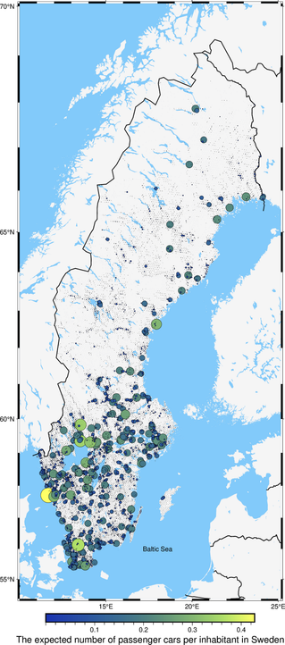
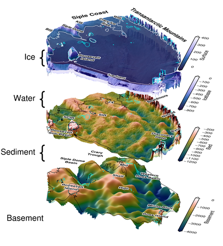
πŸ“’ Announcing PyGMT v0.12.0, faster than ever with the use of GMT virtual files! PyGMT is a Python interface for the Generic Mapping Tools, a library for processing geospatial and geophysical data and making publication quality maps and figures.

Main highlight of this release is that almost all module wrappers now use in-memory GMT *virtual files* instead of intermediate temporary files to improve performance πŸš€ More at https://forum.generic-mapping-tools.org/t/pygmt-v0-12-0/4864

#PyGMT #gischat #cartography #Python #geospatial

PyGMT v0.12.0

Announcing PyGMT v0.12.0, faster than ever with the use of GMT virtual files! The PyGMT team is pushing forward with version v0.12.0! Here are some of the highlights πŸŽ‰: πŸš€ Almost all module wrappers (with a few exceptions) now use in-memory GMT virtual files instead of intermediate temporary files to improve performance (#2730) Almost all module wrappers (with a few exceptions) now have consistent behavior for table-like output (#1318) Adopt SPEC 0 policy for minimum supported vers...

GMT Community Forum

πŸ—ΊοΈ Geostatistics in action: the expected number of passenger cars per inhabitant in Sweden.

🍏 Raw data sources are the population grid, the number of registered passenger cars in each Swedish municipality, and the number of inhabitants in each municipality.

πŸ”ͺ Data preprocessing was done in #QGIS and #geopandas

πŸ₯— Area-to-point support transformation was done in #pyinterpolate

🍻 Visualization in #pygmt

Overall #Python score: 10/10 🐍

OpenAerialMap

Browse the open collection of aerial imagery.

OpenAerialMap Browser

Excited to have submitted my PhD thesis "Airborne Geophysical Investigation beneath Antarctica's Ross Ice Shelf"! Here is my cover figure, showing my two main outcomes, gravity-inverted bathymetry, and magnetically-derived basement topography.

The first chapter is already published (https://t.co/oxjj55Cjbl) and I'm excited to get the last 2 chapters submitted in the next few months 😊 Now the postdoc job hunt begins ...

#cryosphere #antarctica #geophysics #inversion #PyGMT

Create Travel Map with Python and PyGMT – Sp.4ML

Only three stickers today, but I got the coveted ICESat-2 πŸ›°οΈ sticker!! Revisiting the NASA booths was worth it πŸ˜†

Also had a long chat with a new friend who's keen on helping out with PyGMT/GMT (need to transfer those ideas to GitHub issues πŸ˜…). Gonna try and catch up with some Pangeo folks tonight for Happy Hour πŸ₯³ https://discourse.pangeo.io/t/agu-happy-hour-wednesday-evening/2992

#AGU22 #ICESat-2 #NASA #TOPS #PyGMT #Pangeo

AGU Happy Hour - Wednesday Evening

Hello! If anyone is interested in a Pangeo & friends Happy Hour! Comment below. Location and time TBD! Probably starting around 5ish. Best, Thomas

Pangeo

Great talks come with sticker giveaways at the end πŸ€— Thanks to #icepyx, @projectpythia and #PyGMT/#GMT! Also had a blast meeting people I only saw before on GitHub/Zoom for years (and old friends) 😁

#OpenScience #OpenSource #ReproducibleScience

Woohoo, got some #stickers and #swag from #GenericMappingTools (#GMT)! Gonna bring some to #AGU22 in Chicago this December to share with #PyGMT users (or anyone really) 😎. Leave me a message below πŸ‘‡πŸ»if you want some!

#OpenSource #Cartography #GeoProcessing

Welcome @leouieda to Fediverse!

For those who don't know, he is a academic and with a rich history of #OpenSource development. He is known for #Python packages such as #pooch and #PyGMT.

#ff

We are a group of open source scientific programmers that are developing tools for working with data expressed in spherical harmonics. pyshtools is a python frontend that allows you to read public datasets expressed in spherical harmonics, create grids from the coefficients, and to perform various global and local spectral analyses. Publication quality maps can be produced thanks to #pygmt and #cartopy.

If you want to learn more, check out out our web site:
shtools.github.io/shtools/