IVIDES DATA™ PROMOTES THE SECOND SESSION OF 2026 OSM WORKSHOP
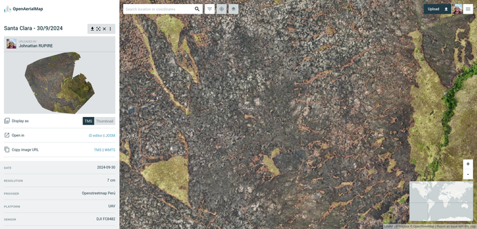
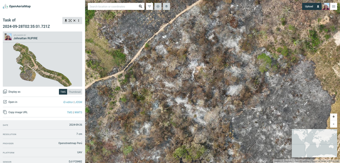
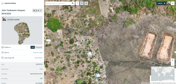
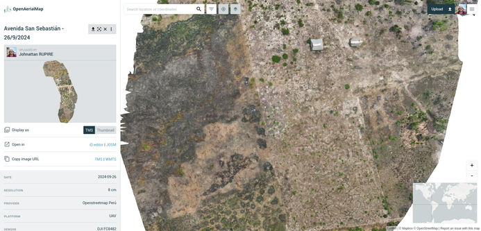
We appreciate your interest in our workshop series with #OpenStreetMap, covering: digital images (GeoTIFF) from drone imagery via OpenDroneMap; making images available on #OpenAerialMap; using street-level photos in the iD editor; and relationships in #OpenStreetMap (multipolygons).
PDF:https://doi.org/10.5281/zenodo.20345429
Video: https://www.youtube.com/live/boOVcqOtbSM?si=5qUfnWfKPewT06TM
Translated with DeepL.com
Img: OpenAerialMap, OpenStreetMap.