#QGIS für Fortgeschrittene – Zeit für den nächsten Schritt! 💚🚀
📑 Aufbauschulung „QGIS für Fortgeschrittene":
- Fortgeschrittene Visualisierung & Blending Modes
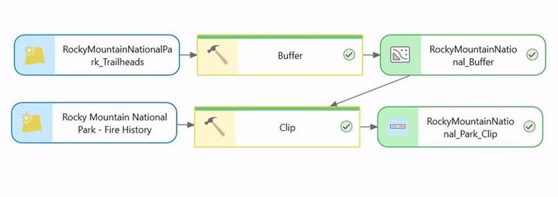
- Geoprocessing & Model Builder
- Rasterdaten: Visualisierung, Georeferenzierung & Berechnungen
- Formulare, Templates & mehrseitige Ausdrucke
📍 Online
📆 16.–19. Juni 2026 (4 Vormittage)
🕙 jeweils 09:00–12:00 Uhr
👇
https://foss-academy.com/qgis-fortgeschrittene/
#GIS #OpenSource #FOSSGIS #Geoprocessing #Geospatial @wheregroup