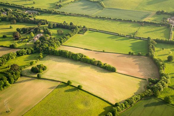
How Ordnance Survey Supports Agriculture And Land Management Through Innovation And Trusted, Authoritative Data [UK]
--
https://www.ordnancesurvey.co.uk/insights/supporting-agriculture-and-land-management <-- shared technical article
--
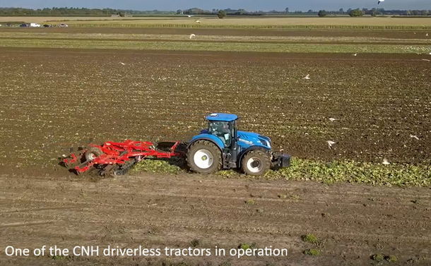
https://youtu.be/BQReQyr3Xv0?si=6ov42Fe94epDBfBh <-- shared video, ‘CNH supports farmers with driverless tractors using OS technology’
--
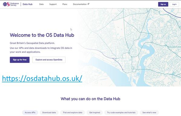
https://www.ordnancesurvey.co.uk/products/os-ngd <-- shared link to the OS National Geographic Database open spatial data portal
--
#OrdnanceSurvey #OS #agency #OSNet #GPS #navigation #routing #safety #security #location #locating #GIS #spatial #mapping #precisionagriculture #farmers #farming #UK #Britain #England #Scotland #Wales #NorthernIreland #agriculture #production #food #foodsecurity #geospatial #farming #locationdata #tractor #SeeABetterPlace #mechanisation #automation #driverless #landuse #landuseframework #defra #spatialdata #opendata #OSNationalGeographicDatabase #API #downloads #Geovation #LandApp #OkoAg #SoilBenchmark #sustainable #environment
@OrdnanceSurvey @Defra @CNH
--
https://www.ordnancesurvey.co.uk/insights/supporting-agriculture-and-land-management <-- shared technical article
--
https://youtu.be/BQReQyr3Xv0?si=6ov42Fe94epDBfBh <-- shared video, ‘CNH supports farmers with driverless tractors using OS technology’
--
https://www.ordnancesurvey.co.uk/products/os-ngd <-- shared link to the OS National Geographic Database open spatial data portal
--
#OrdnanceSurvey #OS #agency #OSNet #GPS #navigation #routing #safety #security #location #locating #GIS #spatial #mapping #precisionagriculture #farmers #farming #UK #Britain #England #Scotland #Wales #NorthernIreland #agriculture #production #food #foodsecurity #geospatial #farming #locationdata #tractor #SeeABetterPlace #mechanisation #automation #driverless #landuse #landuseframework #defra #spatialdata #opendata #OSNationalGeographicDatabase #API #downloads #Geovation #LandApp #OkoAg #SoilBenchmark #sustainable #environment
@OrdnanceSurvey @Defra @CNH