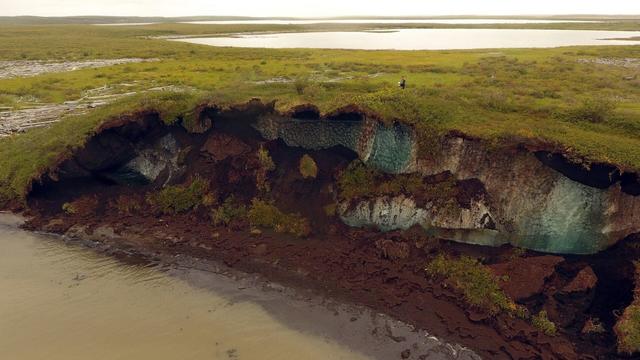
U.S. Landslide Inventory and Susceptibility Map [updated, USGS]
--
https://www.usgs.gov/tools/us-landslide-inventory-and-susceptibility-map <-- shared technical resource, with map and county-level metrics are available as structured data
--
http://alturl.com/ztxbs <-- shared link to USGS Landslide Susceptibility WebMap
--
https://www.usgs.gov/media/videos/parsimonious-landslide-susceptibility-modeling-continental-scales-a-new-high <-- shared video overview
--
https://doi.org/10.1029/2024AV001214 <-- shared paper
--
https://doi.org/10.5066/P13KAGU3 <-- shared 2024 USGS technical publication
--
#GIS #spatial #mapping #model #modeling #spatialanalysis #geology #engineeringgeology #massmovement #landslide #spatialanalysis #historicdata #webmap #USA #3dep #elevation #topography #geomorphometry #geomorphology #risk #hazard #riskreduction #suspectibility #opendata #remotesensing #database #compilation #inventory #terrain #landuse #planning
@USGS
--
https://www.usgs.gov/tools/us-landslide-inventory-and-susceptibility-map <-- shared technical resource, with map and county-level metrics are available as structured data
--
http://alturl.com/ztxbs <-- shared link to USGS Landslide Susceptibility WebMap
--
https://www.usgs.gov/media/videos/parsimonious-landslide-susceptibility-modeling-continental-scales-a-new-high <-- shared video overview
--
https://doi.org/10.1029/2024AV001214 <-- shared paper
--
https://doi.org/10.5066/P13KAGU3 <-- shared 2024 USGS technical publication
--
#GIS #spatial #mapping #model #modeling #spatialanalysis #geology #engineeringgeology #massmovement #landslide #spatialanalysis #historicdata #webmap #USA #3dep #elevation #topography #geomorphometry #geomorphology #risk #hazard #riskreduction #suspectibility #opendata #remotesensing #database #compilation #inventory #terrain #landuse #planning
@USGS
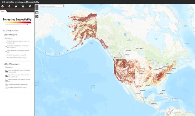
U.S. Landslide Inventory and Susceptibility Map | U.S. Geological Survey
A web-based interactive map that combines the national landslide inventory compilation with the national landslide susceptibility map. This searchable map integrates contributions from various local, state, and federal agencies and offers links to the original digital inventory files for more detailed information.