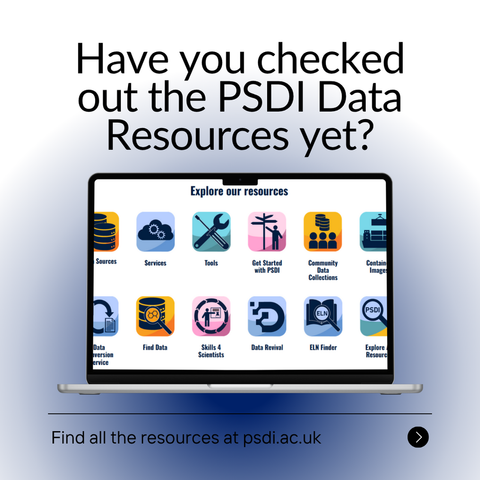
PSDI provides many resources that you can use to help you with your research or to support researchers you work with. To view a list of a particular kind of resource you can choose from the options under Browse by Resource Type and alternatively, you can view collections of related resources by selecting from the options under Browse by Resource Theme.

Check out all the Data Resources ➡️ https://resources.psdi.ac.uk/

#PSDI #DataResources #PhysicalSciences #ResearchSupport

What is the difference between lidar data and a digital elevation model (DEM)? | U.S. Geological Survey

Light detection and ranging (lidar) data are collected from aircraft using sensors that detect the reflections of a pulsed laser beam. The reflections are recorded as millions of individual points, collectively called a “point cloud,” that represent the 3D positions of objects on the surface including buildings, vegetation, and the ground.  Digital elevation models (DEMs) are one of many products that can be derived from lidar data, though they can also be derived from other sources. DEMs are digital representations of the earth’s topographic surface. They’re a “bare-earth” product because they do not include surface features like buildings and vegetation.  A high-resolution DEM can be derived from lidar point-cloud data by stripping away the surface features and sampling the ground elevation in uniform increments to produce a bare earth model.  The ...

GEO.CA - The Definitive Source For Canada’s Open Geospatial Information 🇨🇦
--
https://geo.ca/home/ <-- home page and data portal
--
“[NRCAN has] worked with all levels of [Canadian] government to bring you a digital platform where Canadians can discover, access, analyze and map Canada’s vast geospatial data resources. 🌎🗺️
If you’re interested in urban planning, policy development or tracking outbreaks and monitoring climate change, [their] new site can help you access the data you need to make evidence-based, educated decision-making…”
#GIS #spatial #mapping #Canada #spatialdata #spatialanalysis #Canadian #opendata #dataportal #datadownload #gischat #provinces #dataresources #urbanplanning #naturalresources #policymaking #publichealth #climatechange #water #hydrology #DEM #elevation #HRDEM #LiDAR #maps #visualisation #spatiotemporal #historicdata #NRCAN
GEO.ca is the definitive source for Canada’s open geospatial information

GEO.ca is the definitive source for Canada’s open geospatial information. Open data. Applications. Maps. And more. Discover it all on GEO.ca, along with

GEO.CA