Early Estimates of Exotic Annual Grass (EAG) in the Sagebrush Biome, USA, 2023 - ScienceBase-Catalog
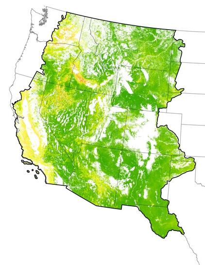
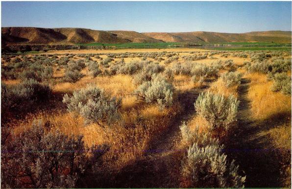
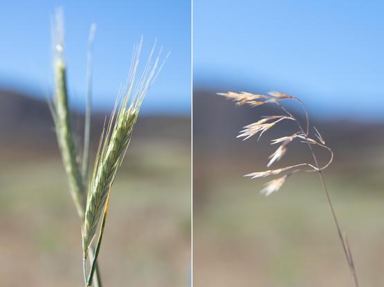
These datasets provide early estimates of 2023 fractional cover for exotic annual grass (EAG) species and one native perennial grass species on a weekly basis from May to early July. The EAG estimates are developed typically within 7-13 days of the latest satellite observation used for that version. Each weekly release contains four fractional cover maps along with their corresponding confidence maps for: 1) a group of 16 species of EAGs, 2) cheatgrass (Bromus tectorum); 3) medusahead (Taeniatherum caput-medusae); and 4) Sandberg bluegrass (Poa secunda). These datasets were generated leveraging field observations from Bureau of Land Management (BLM) Assessment, Inventory, and Monitoring (AIM) data plots; Harmonized Landsat and Sentinel-2 (HLS) based Normalized Difference Vegetation Index (NDVI); other relevant environmental, vegetation, remotely sensed, and geophysical drivers; and artificial intelligence/machine learning techniques. A total of 28,901 AIM plots from years 2016–2022 were used to train an ensemble of five-fold regression-tree models using a cross-validation approach (each observation was used as test data once and as training data four times) that developed all the fractional cover maps. The geographic coverage includes arid and semi-arid rangelands in the western U.S classified as grassland/herbaceous by the 2019 National Land Cover Database at or below 2350-m elevation. Note: Maps of May 1st, 2023 were developed using satellite observation data no later than April 28. Maps of May 8th, 2023 were developed using satellite observation data no later than May 05. Maps of May 15th, 2023 were developed using satellite observation data no later than May 11. Maps of May 22nd, 2023 were developed using satellite observation data no later than May 19. Maps of May 29th, 2023 were developed using satellite observation data no later than May 26. Maps of June 5th, 2023 were developed using satellite observation data no later than June 2. Maps of June 12th, 2023 were developed using satellite observation data no later than June 9. Maps of June 19th, 2023 were developed using satellite observation data no later than June 16. Releases: First Release: May 01, 2023 (ver. 1.0) Revised: May 08, 2023 (ver. 2.0) Revised: May 15, 2023 (ver. 3.0) [Updated on June 26, 2023] Revised: May 22, 2023 (ver. 4.0) [Updated on June 26, 2023] Revised: May 29, 2023 (ver. 5.0) Revised: June 5, 2023 (ver. 6.0) [Updated on June 20, 2023] Revised: June 12, 2023 (ver. 7.0) Revised: June 19, 2023 (ver. 8.0)