Android now stops you sharing your location in photos
https://shkspr.mobi/blog/2026/04/android-now-stops-you-sharing-your-location-in-photos/
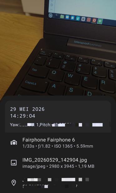
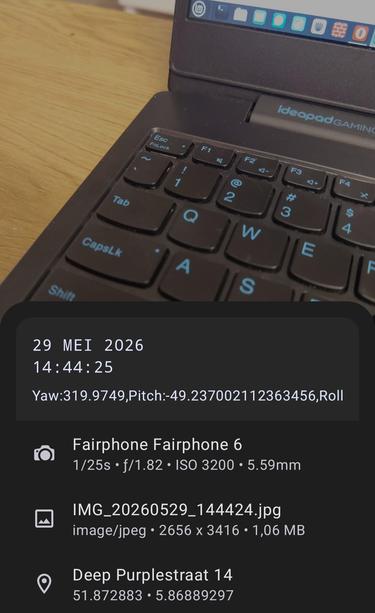
My wife and I run OpenBenches. It's a niche little site which lets people share photos of memorial benches and their locations. Most modern phones embed a geolocation within the photo's metadata, so we use that information to put the photos on a map.
Google's Android has now broken that.
On the web, we used to use:
<input type="file" accept="image/jpeg">
That opened the phone's photo picker and let the use upload a geotagged photo. But a while ago Google deliberately broke that.
Instead, we were encourage to use the file picker:
<input type="file">
That opened the default file manager. This had the unfortunate side-effect of allowing the user to upload any file, rather than just photos. But it did allow the EXIF metadata through unmolested. Then Google broke that as well.
Using a "Progressive Web App" doesn't work either.
So, can users transfer their photos via Bluetooth or QuickShare? No. That's now broken as well.
You can't even directly share via email without the location being stripped away.
Literally the only way to get a photo with geolocation intact is to plug in a USB cable, copy the photo to your computer, and then upload it via a desktop web browser?
Why?!?!?
Because Google run an anticompetitive monopoly on their dominant mobile operating system.
Privacy.
There's a worry that users don't know they're taking photos with geolocation enabled. If you post a cute picture of your kid / jewellery / pint then there's a risk that a ne’er-do-well could find your exact location.
Most social media services are sensible and strip the location automatically. If you try to send a geotagged photo to Facebook / Mastodon / BlueSky / WhatsApp / etc, they default to not showing the location. You can add it in manually if you want, but anyone downloading your photo won't see the geotag.
And, you know, I get it. Google doesn't want the headline "Stalkers found me, kidnapped my baby, and stole my wedding ring - how a little known Android feature puts you in danger!"
But it is just so tiresome that Google never consults their community. There was no advance notice of this change that I could find. Just a bunch of frustrated users in my inbox blaming me for breaking something.
I don't know what the answer is. Perhaps a pop up saying "This website wants to see the location of your photos. Yes / No / Always / Never"? People get tired of constant prompts and the wording will never be clear enough for most users.
It looks like the only option available will be to develop a native Android app (and an iOS one?!) with all the cost, effort, and admin that entails. Android apps have a special permission for accessing geolocation in images.
If anyone has a working way to let Android web-browsers access the full geolocation EXIF metadata of photos uploaded on the web, please drop a comment in the box.
In the meantime, please leave a +1 on this HTML Spec comment.
#android #geolocation #geotagging #google #OpenBenches