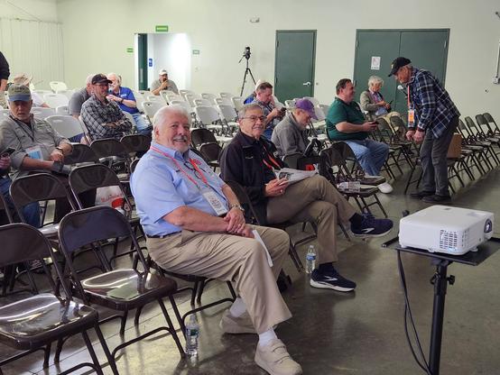
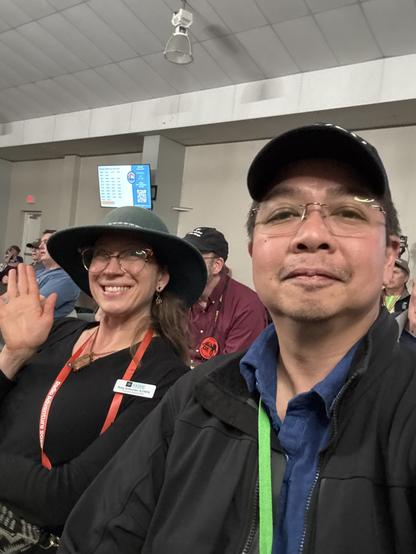
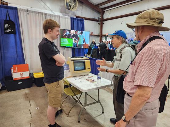
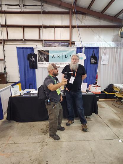
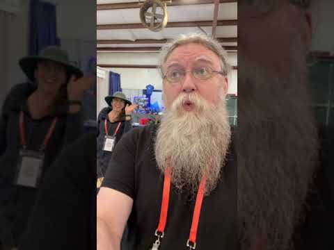
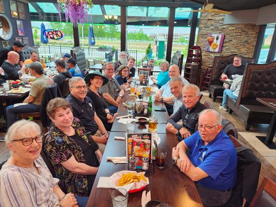
At the #AustralianPlantPhenomicsNetwork (#APPN), we're just concluding a project (Multiscalar Crop Characterisation Network) we've run with support from the #AustralianResearchDataCommons (#ARDC) to develop or adopt #Python tools and pipelines for simpler construction of geospatial data cubes from disparate sources (GeoTIFF, shapefiles, CSV data with point measurements, etc.). "Simpler" may only be relative, and others understand how to do this better, but I'm pleased with the results.
We're using STAC catalogues to drive an ODC-based engine for constructing xarray datacubes. The main tweaks have been in handling non-raster formats more smoothly.
As APPN goes forward, we expect to generate STAC metadata for pretty much any data objects that derive from observations with coordinates (UAV images, orthomosaics, point clouds, plot observations and measurements, etc.) and want to make it as easy as possible to plug and play with arbitrary sets of these and with relevant environment and climate data from other sources.
Three repositories:
stac-generator - configuration-driven generation of STAC catalogue records - https://github.com/aus-plant-phenomics-network/stac-generator
mccn-engine - loading and saving data cubes - https://github.com/aus-plant-phenomics-network/mccn-engine
mccn-case-studies - six #Jupyter notebooks that do semi-meaningful things with different data samples - https://github.com/aus-plant-phenomics-network/mccn-case-studies
All case studies also generate #RO-Crate packages, because we are heavily into adopting it (and #JSON-LD, schema.org, etc.) everywhere to contextualise our data to make it as #FAIR as possible.