"But Syracuse University associate professor Sarah Pralle, who has extensively studied FEMA’s flood map determinations, said it was “particularly disturbing” that a camp in charge of the safety of so many young people would receive exemptions from basic flood regulation.
“It’s a mystery to me why they weren’t taking proactive steps to move structures away from the risk, let alone challenging what seems like a very reasonable map that shows these structures were in the 100-year flood zone,” she said."

Dozens of Camp Mystic buildings removed from flood map in recent years, records show
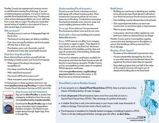
Federal regulators repeatedly granted appeals to remove Camp Mystic’s buildings from their 100-year flood map, as the camp operated and expanded in a dangerous flood plain in the years before rushing waters swept away children and counselors. The Federal Emergency Management Agency included the prestigious camp for girls in a “Special Flood Hazard Area” in its National Flood Insurance map for Kerr County in 2011, which means it was required to have flood insurance and faced tighter regulation on any future construction projects. But in map amendments in 2013, 2019 and 2020, FEMA granted appeals to remove 30 Camp Mystic structures from the map. The amendments shielded buildings at the original site, as well as at a second camp site.