--
https://doi.org/10.2489/jswc.2024.0314A <-- shared paper
--
https://pubs.usgs.gov/publication/tm11B12 <-- USGS EDH Representation, Extraction, Attribution, and Delineation Rules reference publication
--
https://www.usgs.gov/3d-hydrography-program <-- shared link to the USGS 3DHP page
--
[in my role, I have the pleasure of working with the valuable EDH process(es) and the data it produces on a daily basis]
#GIS #spatial #mapping #water #hydrology #hydrography #3dep #edh #3dhp #elevationderivedhydrography #opendata #elevation #dem #dtm #interpretation #waterfeatures #usecase #waterresources #floodmodeling #alignment #model #modeling #dataset #naturalresources #costs #benefits #economics #businessuse #publicdata #spatialanalysis #USA #USGS
@USGS
Elevation-Derived Hydrography: The USGS’s rich new hydrological features dataset
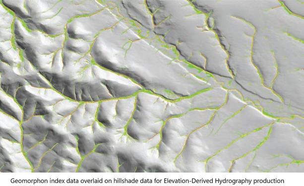
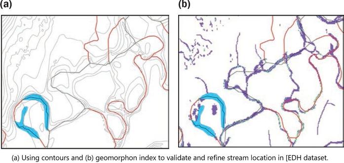
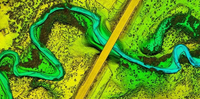
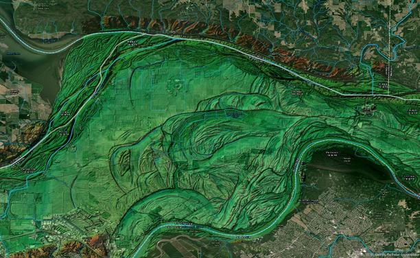
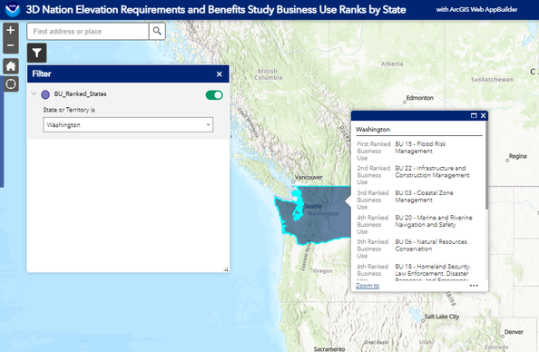
The US Geological Survey (USGS) is the main source of publicly available elevation data in the United States. One of the USGS’s major programs, the 3D Hydrography Program (3DHP), includes Elevation-Derived Hydrography (EDH), a detailed water features dataset that is derived from elevation data such as Digital Elevation Models (DEMs). EDH fills the need for hydrography data that align with elevation data, which is important for analysis such as flood modeling. It is difficult to use hydrographic and elevation data together if they do not align—for example, a hydrographic features dataset produced from imagery might indicate a different location for a river’s edge than an elevation dataset over the same area. Because EDH data consist of hydrological features derived from an elevation dataset, the two datasets will align, enabling more accurate analysis and hydro modeling. This new dataset promises to be a very useful tool for a wide range of natural resource applications. In fact, the USGS posted a Hydrography Requirements and Benefits Study (Dewberry 2016), which indicated that the value of the benefits provided by hydrographic data could exceed US$1 billion annually in the United States. These benefits are broken down by “business uses,” which include river and stream flow management, water quality, coastal zone management, and many others. Amongst the public and private hydrographic data users who participated in this study, with regards to hydrographic data integration, “the top five requirements for integration with other datasets were elevation, stream flow, wetlands, …
