Igler Art • Via Romea #81 • @1MEMO_20260517 • Michel van der Burg • Miracles•Media • School street art on the Jakobsweg and Via Romea route in Igls, Tyrol, Austria, March 2026 • TakeNode 0d5f7b06-3c8a-4d14-93fb-d8d1441d6648
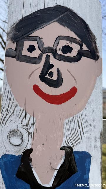
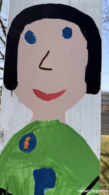
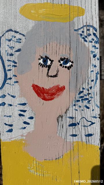
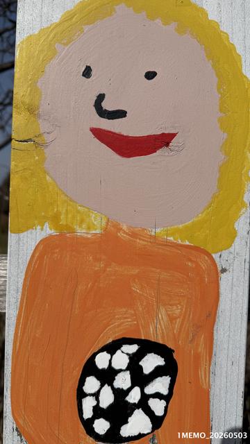
23•Igler Art project by 'VS Igls-Vill' school in Igls (Innsbruck-Igls, Tyrol, Austria), in front of the school at the crossing of the Habichtstraße and Viller Steig — the Jakobsweg pilgrimage route from Igls towards Vill.
Here the Jakobsweg ( Camino de Santiago , St James Way ) follows the same route as the Via Romea Germanica.
More on the 23•Igler Art project by VS Igls-Vill (Klaus Defner & Stephan Hofinger) posted last year , see https://1-memo.com/?s=igler+art
#art #street #viller #igler #viaromea #Vill #Igls #Innsbruck #Via #Romea #Tirolensis #pilgrim #route #path #Tyrol #Jakobsweg #Camino #Santiago #Germanica #Alps
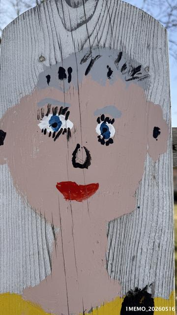
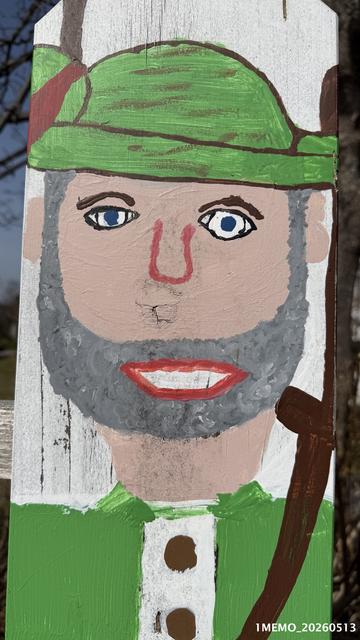