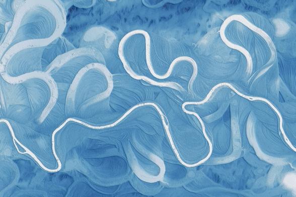
Automatic relative elevation model generation: OpenTopography’s #RiverREM is a #Python-based tool that automates the creation and visualization of relative elevation models (REMs) from digital elevation models, making it easier than ever for scientists, artists, and enthusiasts to explore the...
https://spatialists.ch/posts/2025/04-19-automatic-relative-elevation-model-generation/ #GIS #GISchat #geospatial #SwissGIS
https://spatialists.ch/posts/2025/04-19-automatic-relative-elevation-model-generation/ #GIS #GISchat #geospatial #SwissGIS

Automatic relative elevation model generation – Spatialists – geospatial news
OpenTopography’s #RiverREM is a #Python-based tool that automates the creation and visualization of relative elevation models (REMs) from digital elevation models, making it easier than ever for scientists, artists, and enthusiasts to explore the dynamic history and structure of river landscapes.