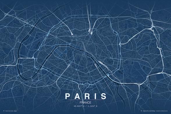
Terraink: Terraink is a free, open-source web app for creating artistic #cartographic posters from #OpenStreetMap data, with an impressive breadth of customisation options for themes, layouts, fonts, and layers. Recommended for anyone looking to create unique...
https://spatialists.ch/posts/2026/04/11-terraink/ #GIS #GISchat #geospatial #SwissGIS
https://spatialists.ch/posts/2026/04/11-terraink/ #GIS #GISchat #geospatial #SwissGIS
Terraink – Spatialists – geospatial news
Terraink is a free, open-sourc web app for creating artistic #cartographic posters from #OpenStreetMap data, with an impressive breadth of customisation options for themes, layouts, fonts, and layers. Recommended for anyone looking to create unique maps for print or social media.