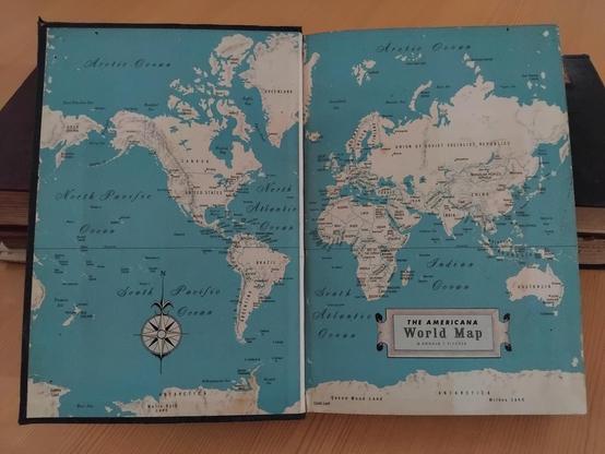
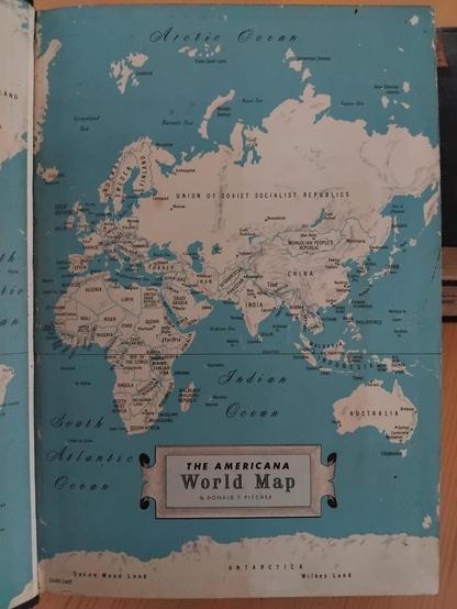
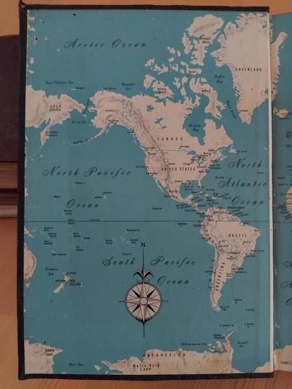
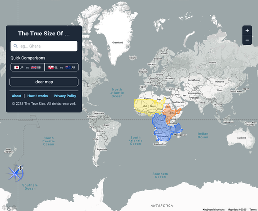
Africa: World Maps Get Africa's Size Wrong - Cartographers Explain Why Fixing It Matters: [The Conversation Africa] The African Union has endorsed the #CorrectTheMap Campaign, a call for the United Nations and the wider global community to use a different kind of world map. The campaign currently has over 4,500 signatures. http://newsfeed.facilit8.network/TMlXJd #Africa #WorldMaps #CorrectTheMap #Cartography #AfricanUnion

πŸ“– Character guides, world maps, and glossaries await in our Ember Archive! Enhance your reading experience with exclusive supplementary content. πŸ—ΊοΈ https://www.wildflintbooks.com/ember-archive

#WorldMaps #CharacterGuides #EmberArchive #WildFlintBooks #EnhancedReading #BookExtras

The Ember Archive | Wild Flint Books

Access the exclusive Ember Archive from Wild Flint Books - where only the most dedicated readers discover hidden lore, character secrets, and exclusive content.

Taken on Wednesday, 18 June, 2025 from 15:14 to 16:26 with Samsung Galaxy A05 at Tikala Ares Sub-district, Tikala District, Manado, North Sulawesi, Indonesia.

#map #maps #worldmap #worldmaps #oldmap #oldmaps #encylopediaamericana #1960s #60s #early1960s #early60s #book #books #sofiaflorina #ソフィをフロγƒͺγƒŠ

From this map it can be determined that this book was printed between 1st January to 1st May, 1963. Honestly this is the first 1963 world map I have ever seen. You know that I love maps, especially old maps. I want to have a giant world map that I can hang on my wall someday, that would be wonderful.

#map #maps #worldmap #worldmaps #oldmap #oldmaps #encylopediaamericana #1960s #60s #early1960s #early60s #book #books #sofiaflorina #ソフィをフロγƒͺγƒŠ

The Federation of Rhodesia and Nyasaland ended on 31 December, 1963 since established on 1 August, 1953 while West Irian or West New Guinea, which was administered by the United Nations Temporary Executive Authority (UNTEA) ended on 1 May, 1963 since established on 1 October, 1962.

#map #maps #worldmap #worldmaps #oldmap #oldmaps #encylopediaamericana #1960s #60s #early1960s #early60s #book #books #rhodesia #nyasaland #zambia #malawi #zimbabwe #westirian #westnewguinea #sofiaflorina #ソフィをフロγƒͺγƒŠ

This is the world map from the 1963 edition of the Encyclopedia Americana. This map is very interesting to me because there are two political entities whose lifespan ended in 1963 which could determine when this book was printed. The two political entities in this map are the Federation of Rhodesia and Nyasaland in Africa and West Irian in Asia.

#map #maps #worldmap #worldmaps #oldmap #oldmaps #encylopediaamericana #1960s #60s #early1960s #early60s #book #books #sofiaflorina #ソフィをフロγƒͺγƒŠ

All Maps are Lying to You 😱 The Real Size of Counties πŸ—ΊοΈ

https://tube.blueben.net/w/maQiXLdnmcSYhw6sLnvRZx

All Maps are Lying to You 😱 The Real Size of Counties πŸ—ΊοΈ

PeerTube
An interactive map tool that allows you to compare the actual size of countries by dragging them across the globe, correcting for the distortions of the Mercator projection #maps #worldmaps
https://thetruesize.com/
Compare Countries, States, Provinces, and Regions with This Simple Tool

Drag, drop and rotate countries, states, provinces, and regions around the map to compare their relative size. Is Greenland really as big as all of Africa? You may be surprised at what you find! A great tool for educators.

The True Size

Why we are popular:))

#tourism
#satire
#worldmaps
#NewZealand