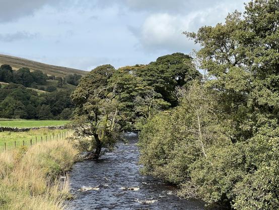
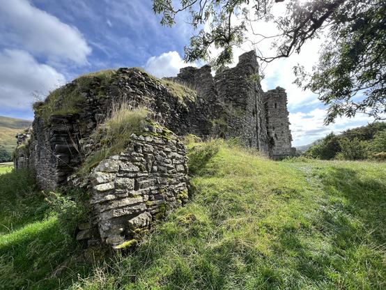
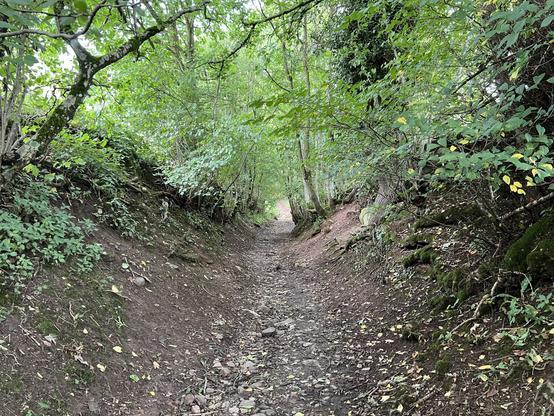
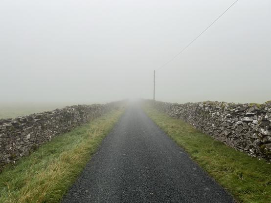
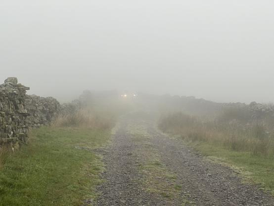
I’ve just plotted my walk electronically for the first time. I noticed I could do it on the Ordinance Survey app I already had for storing electronic versions of the physical maps I own (as you get a digital copy code with OS Maps) & finally got around to trying it.

One of my regular local routes is approx 11.75km/7.3 miles & the other is approx 9.8km/6.1 miles.

Great to finally know. I had taken a pedometer to measured my step count for them before, but this is much more useful. 🚶‍♂️

#WalkingUK

Lifestyle | Foodie | Family | Bryony on Instagram: "📌 Hubbards Hills"

bryonyannie on April 29, 2025: "📌 Hubbards Hills".

Instagram
Log into Facebook

Log into Facebook to start sharing and connecting with your friends, family, and people you know.

Facebook

Highlights from today’s penultimate section of the #LadyAnnesWay. #KirkbyStephen to #Appleby. A difficult day, but not for the reasons expected. Left foot started giving me problems an hour into the walk. Really sharp pain. Took some painkillers and kept walking. Worked, but conscious of the fact this was only a stopgap solution. Will have to monitor.

Best views of the walk are behind me at this point. Impetus to plan for my next one I guess.

#walking #walkinguk

Second half of the day was an absolute misery. The pictures are deceptive. As soon as I got to the valley floor I found the ground wet, muddy, saturated in sheep and cow poo. The signage was lacking. The trail vanished from view half the time. At some point I gave up and walked along a road running parallel to the trail, then realised I didn’t want to do this all the rest of the Way, and decided to grin and bear it, which I did.

#LadyAnnesWay #walking #walkinguk

Today was some of the best hiking this trip, but also some of the worst. Let’s start with the best. Right out of Hawes I had a climb up to 550m, which was exhausting, but first thing in the morning is when you want to do these things, when you have energy. Weather stayed clear and actually improved as the day progressed. Some stunning views down and across the valley.

#LadyAnnesWay #walkinguk #walking #Hawes

Highlights from today’s walk on the #LadyAnnesWay from #Buckden to #Hawes in the #YorkshireDales. Another misty morning, and as a result missed out on some supposedly impressive views coming down from Stake Moss outside Buckden, but there you go. Weather remained overcast all the rest of the day, which at least made for cooler walking.

#walking #walkinguk

Highlights from yesterday’s walk on the #LadyAnnesWay from #Grassington to #Buckden in the #YorkshireDales. Really misty as I began my climb just outside Grassington. Might have been a little intimidating if I hadn’t done Ben Nevis back in 2022 in worse.

#walking #walkinguk

Wim Van Mierlo | Photography

Observing the spaces around me, whether it is the landscape, the built environment, or simply the places that I inhabit; finding that rare quality of beauty in the mundane and the every-day; creating memories that words cannot express.

“The River Tay Way is a proposed new, linear long-distance route with separate designated routes for cycling and walking being developed by Perth and Kinross Countryside Trust.“

Great concept in principle.

#Perthshire #Scotland #WalkingUK #CyclingUK #Tourism #OutdoorsUK #RiverTay #BikeTooter
https://www.pkct.org/Pages/Category/river-tay-way

River Tay Way

The River Tay Way is a proposed new, linear long-distance route with separate designated routes for cycling and walking being developed by Perth and Kinross Countryside Trust. The River Tay Way will travel between Perth and Kenmore through some of the finest countryside that Perthshire has to offer. Ultimately, the route could extend westward to the West Highland Way and eastward to Dundee and the new Fife Pilgrim Way. Both routes would be approximately 50 miles / 80 km and would pass through the communities of Luncarty, Stanley, Murthly, Dunkeld and Birnam, Aberfeldy, and Kenmore. The walking route follows existing designated core paths, and the cycling route follows National Cycle Route 77 (NCN 77) and NCN 7. The intention is to create the River Tay Way through a ‘daisy chain’ of community links that enable residents to undertake low-carbon, active travel and together create a long-distance leisure route through some of Scotland’s finest highland lowland scenery. The River Tay Way would also generate additional local economic income for these communities as well as for Perth & Kinross overall. The routes identified are well-served by visitor accommodation, shops and places to eat and drink, which all would provide the necessary infrastructure to support leisure users of the route. There is also a rich abundance of natural, built, historical and sporting heritage along the route, offering a wealth of innovative, landscape-based interpretation opportunities. The River Tay Way would aid in the delivery of four of the UN Sustainable Development Goals, six of the Scottish Government National Performance Framework outcomes, and fits in with current Active Travel, Mental Health and National Walking Strategy agendas. The soft launch also coincides with the Scottish Government’s Year of Coast and Waters. We are confident that the River Tay Way will one day become one of Scotland’s Great Trails.

Perth and Kinross Countryside Trust