I found I can drag a layer in QGis to my local #PostGIS database and drop it into the a DB instance. Poof! The data goes from a KML or whatever, into a fully-formed PostgreSQL object.
Until now, when the layer came from ESRI formatted x/y content. I *think* the CRS map projection being over 1000000 hit a bump. To be continued.

WKB EMPTY
I have been watching the codification of spatial data types into GeoParquet and now GeoIceberg with some interest, since the work is near and dear to my heart. Writing a disk serialization for PostGIS is basically an act of format standardization – albeit a standard with only one consumer – and many of the same issues that the Parquet and Iceberg implementations are thinking about are ones I d...
https://spatialists.ch/posts/2025/06/09-mds-in-geo-an-example-with-mapillary/ #GIS #GISchat #geospatial #SwissGIS

MDS in geo: An example with Mapillary – Spatialists – geospatial news
Two articles by Michaël Galien on #Geotribu showcase how to leverage a Modern Data Stack (#MDS) for processing geospatial data from #Mapillary. The workflow features #dbt, Apache #Airflow, #PostGIS, #SQL, and #Python, highlighting a robust open-source approach to geospatial data engineering.
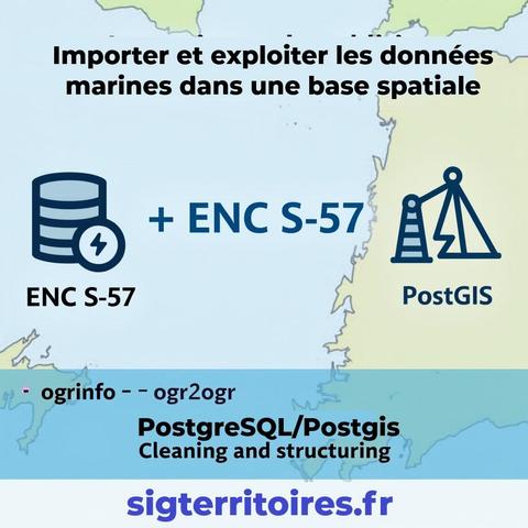
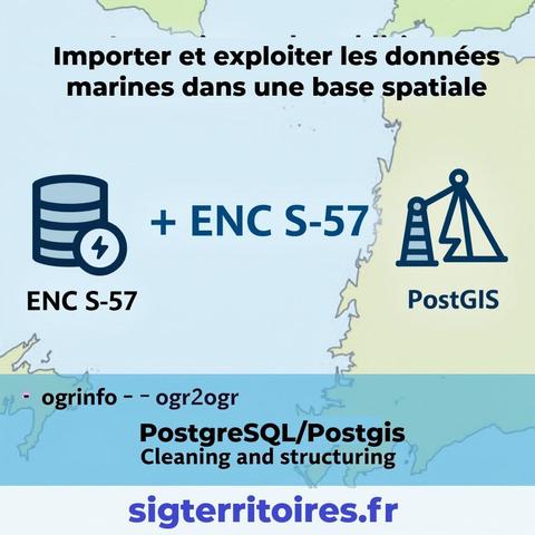
🆕 New technical article (in English): Efficient workflow to load and explore ENC (S-57) nautical charts in PostGIS and QGIS.
🔍 Overview of the S-57 format structure
⚙️ Automated import with ogr2ogr and batch scripts
🧩 PostGIS optimization: triggers, stored procedures & indexing
🗺️ QGIS-ready in minutes for fast cartographic exploration
📘 Read the article here 👉https://www.sigterritoires.fr/index.php/en/enc-maps-in-qgis-with-postgis1/
#QGIS #PostGIS #S57 #ENC #GeoSpatial #MarineGIS #ogr2ogr #GDAL
🆕 Nouveau billet de blog : comment charger rapidement des cartes marines ENC (S-57) dans une base PostGIS et les visualiser dans QGIS.
💡 Format S-57 expliqué
🛠️ Import automatisé avec ogr2ogr
⚙️ Triggers & procédures pour une base optimisée
📍 Prête à l’emploi en quelques minutes
📖 À lire ici 👉https://www.sigterritoires.fr/index.php/cartes-enc-dans-qgis-avec-postgis1/
Im Juli machen wir Sommerpause.
Ab August gibt es dann wieder spannende Kurse rund um #Mapbender #QGIS #MapServer #PostGIS #GeoServer #ALKIS & mehr.
Sichern Sie sich jetzt schon Plätze! Bis zu 6 Wochen vor Schulungsbeginn erhalten Sie 10% Frühbucherrabatt!
Jetzt anmelden!
https://www.foss-academy.com
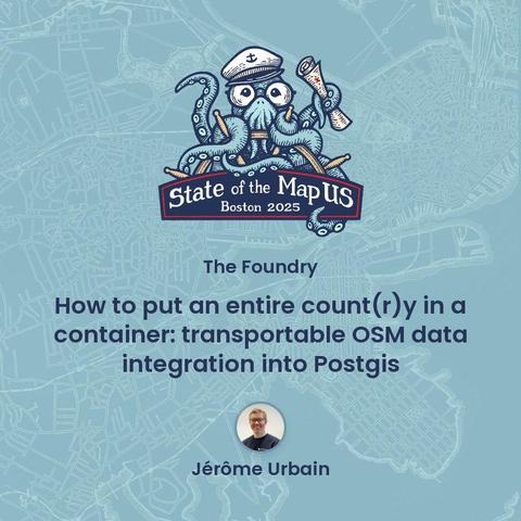
Jérôme Urbain will lead a hands-on tutorial on how to download OpenStreetMap data into a PostGIS database during this #SOTMUS workshop on Thursday afternoon. Access the full schedule here: https://bit.ly/SOTMUS2025_schedule_preview
#PostGIS 3.5.3 released
PostGIS 3.5.3
The PostGIS Team is pleased to release PostGIS 3.5.3. This version requires PostgreSQL 12 - 18beta1, GEOS 3.8 or higher, and Proj 6.1+. To take advantage of all features, GEOS 3.12+ is needed. SFCGAL 1.4+ is needed to enable postgis_sfcgal support. To take advantage of all SFCGAL features, SFCGAL 1.5+ is needed. 3.5.3 source download md5 NEWS PDF docs: en HTML Online en ja fr zh_Hans Cheat Sheets: postgis: en ja fr zh_Hans postgis_raster: en ja fr zh_Hans postgis_topology: en ja fr zh_Hans postgis_sfcgal: en ja fr zh_Hans address standardizer, postgis_tiger_geocoder: en ja fr zh_Hans This release is a bug fix release that includes bug fixes since PostGIS 3.5.1.
