Postfire debris-flow hazards | U.S. Geological Survey
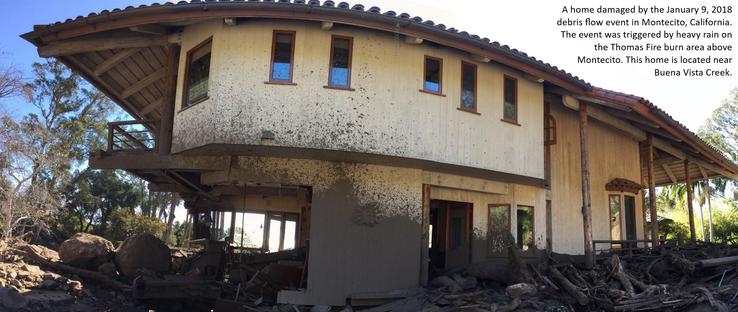
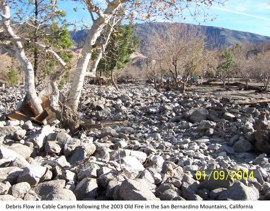
Estimates of the probability and volume of debris flows that may be produced by a storm in a recently burned area, using a model with characteristics related to basin shape, burn severity, soil properties, and rainfall.Wildfire can significantly alter the hydrologic response of a watershed to the extent that even modest rainstorms can produce dangerous flash floods and debris flows. The USGS conducts post-fire debris-flow hazard assessments for select fires in the Western U.S. We use geospatial data related to basin morphometry, burn severity, soil properties, and rainfall characteristics to estimate the probability and volume of debris flows that may occur in response to a design storm.

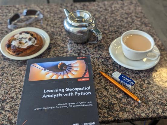
Technical Book Review: Learning Geospatial Analysis With Python, 4th Edition - Joel Lawhead
^^^^ link to more details, including access to a free chapter “Unleash the power of Python 3 with practical techniques for learning GIS and remote sensing…” -- [ disclaimers – (i) a publisher’s representative solicited a review of this book and provided an e-book version for that p