Canadian Hydrospatial Network [6 new regions]
--
https://natural-resources.canada.ca/science-data/data-analysis/geospatial-data-tools-services/canadian-hydrospatial-network <-- shared data resource
--
https://open.canada.ca/data/en/dataset/ae385105-e48c-4b54-bd0f-dfb7303301cb <-- access the open data
--
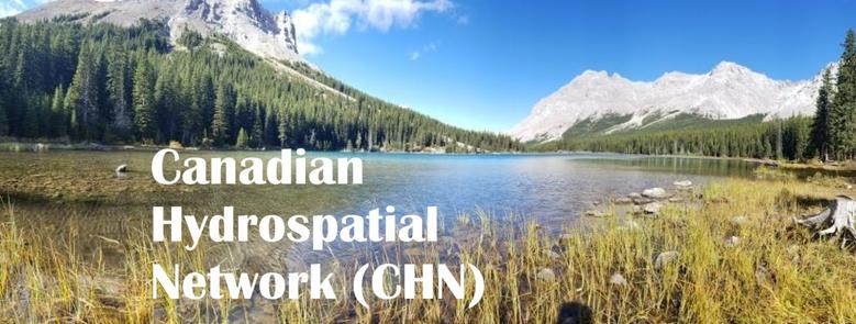
“The Canadian Hydrospatial Network (CHN) is a map-based dataset that includes Canada's lakes, rivers, watersheds and other water features and their connections to each other.
It's applications include:
🗺️ serving as a foundation for advanced hydrologic and hydraulic modelling, including for flooding and drought
🗺️ supporting water and watershed management
🗺️ providing essential base data for cartography…”
You can now explore six new regions …”
#GIS #spatial #mapping #remotesensing #earthobservation #CanadianHydrospatialNetwork #CHN #Canada #opendata #lakes #rivers #watershed #waterbodies #water #hydrospatial #hydrography #hydrology #planning #management #model #modeling #cartography #fedopendata #fedscience
#NRCan
--
https://natural-resources.canada.ca/science-data/data-analysis/geospatial-data-tools-services/canadian-hydrospatial-network <-- shared data resource
--
https://open.canada.ca/data/en/dataset/ae385105-e48c-4b54-bd0f-dfb7303301cb <-- access the open data
--
“The Canadian Hydrospatial Network (CHN) is a map-based dataset that includes Canada's lakes, rivers, watersheds and other water features and their connections to each other.
It's applications include:
🗺️ serving as a foundation for advanced hydrologic and hydraulic modelling, including for flooding and drought
🗺️ supporting water and watershed management
🗺️ providing essential base data for cartography…”
You can now explore six new regions …”
#GIS #spatial #mapping #remotesensing #earthobservation #CanadianHydrospatialNetwork #CHN #Canada #opendata #lakes #rivers #watershed #waterbodies #water #hydrospatial #hydrography #hydrology #planning #management #model #modeling #cartography #fedopendata #fedscience
#NRCan