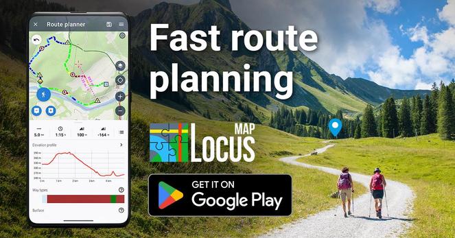
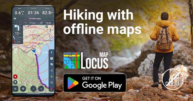
Trail idea → route in minutes. 🥾🗺️✨
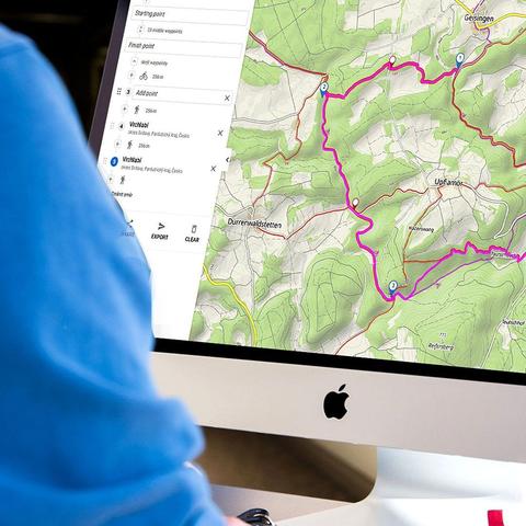
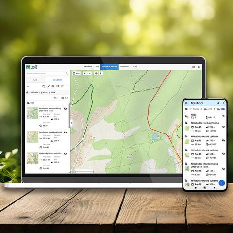
With Locus Map, fast route planning means less time fiddling and more time hiking. Sketch your loop, check distance + elevation, adjust on the fly — then hit the trail with confidence. ⛰️
Where are you heading this weekend? 👇
#LocusMap #LocusMap4 #Hiking #RoutePlanning #OutdoorNavigation #ExploreMore #TrailLife