Реализация self-hosted карт в закрытом контуре
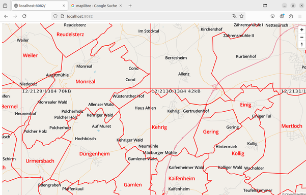
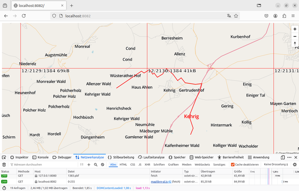
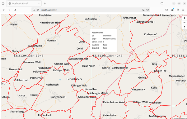
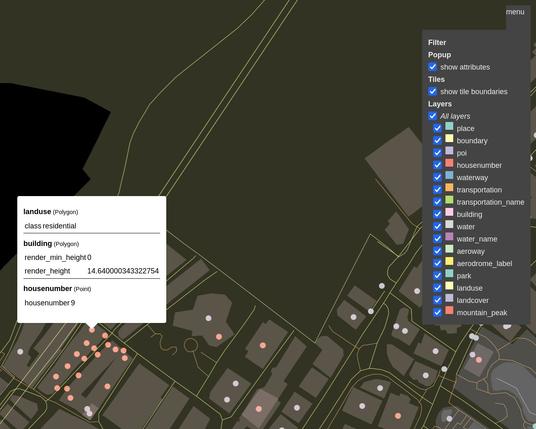
На связи разработчики продукта Аврора Центр компании Открытая мобильная платформа . Сегодня мы расскажем как реализовать сервис self-hosted карт в закрытом контуре. Наша компания активно развивается и добавляет новый функционал в продукт по удалённому управлению устройствами — Аврора Центр (UEM-решение, которое позволяет управлять устройствами и жизненным циклом приложений на ОС Аврора, Android и Linux). Так по запросам заказчиков было решено добавить отображение геопозиции мобильного устройства на карте территории России. И вот перед нами встаёт задача по работе с картами в АЦ.
https://habr.com/ru/articles/912000/
#selfhosted #картография #openstreetmap #tilemaker #Osmium #MBTiles #Офлайнкарты #генерация_тайлов #аврора_центр #открытая_мобильная_платформа