In 1 week, #EsriUK webinar: Understanding what’s possible with #Python in #ArcGIS https://tinyurl.com/52yzxma7
#Arcpy #scripting #developers #esridev #geodev #GIS #esri #mapping #maps #GISchat #geospatial #mapstodon @esri @esritraining
In 1 week, #EsriUK webinar: Understanding what’s possible with #Python in #ArcGIS https://tinyurl.com/52yzxma7
#Arcpy #scripting #developers #esridev #geodev #GIS #esri #mapping #maps #GISchat #geospatial #mapstodon @esri @esritraining
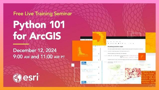
In 1 week, @esritraining webinar: #Python Tips & Tricks for #ArcGIS https://rb.gy/97u42y
#Arcpy #scripting #developers #esridev #geodev #bestpractices #esri #WebGIS #GIS #mapping #maps #GISchat #geospatial #mapstodon @esri @arcgispro @arcgisonline
In 1 week, #Esri webinar: Teaching #Spatial #DataScience with #ArcGIS Notebooks https://tinyurl.com/3amde98z
#data #science #Jupyter #python #scripting #spatial #analysis #arcpy #GIS #EsriTraining #GISchat #education #geospatial #mapstodon
#Urban areas modify local #weather and #climate and urban clusters have increased over time.
#Visualization below (using #D3) shows 15 countries with most urban clusters from 1992 to 2020 based on #ESA CCI land cover data.
#EarthEngine and #ArcPy were used for vectorization.