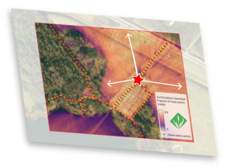
Just published a tutorial about using GRASS for a viewshed workflow that employs an observer-relevant surface to selectively represent obstructions that effectively block line of sight at pedestrian height. This derived layer is then used to perform a cumulative viewshed analysis. Check it out here: https://ecodiv.earth/post/intervisibility/ #grassgis #osgeo #ahn #viewshed @grassgis
Ancient stone walls and power: What data science tools can reveal in African archaeology

Visibility has always been important in people's decisions about where to live and how to arrange their spaces. People make connections with what they can see. Being able to see prominent landmarks, such as certain mountain peaks, rivers or ancestral sites, could help reinforce a community's connection to its cultural and spiritual landscape.

Phys.org

A colleague asked me if the speed of the #ESRI #viewshed calculation could be improved. It took them 10.5 hours to compute 1800 viewsheds.

This was the first time I looked into #GRASS GIS [1] and the grass.jupyter package [2]. Computing time is now down to 2h 40 minutes for 1800 viewsheds (16 threads parallel processing, 32GB memory). See the notebook for my example walkthrough [3].

[1]: https://grass.osgeo.org/
[2]: https://grass.osgeo.org/grass83/manuals/libpython/grass.jupyter.html
[3]: https://alexanderdunkel.com/01_viewshedanalysis.html

#grass #jupyter #gis

GRASS - Bringing advanced geospatial technologies to the world

GRASS is a powerful open-source geospatial processing engine that supports advanced modeling, time series analysis, and spatial data management.

GRASS
Pacific Crest Trail Viewshed [animation]
--
https://youtu.be/tmY27ZIVfpA <-- shared video
--
H/T Doug Newcombe
“This animation is a viewshed of the Pacific Crest Trail. A viewshed shows all surrounding terrain that is visible from a given point on the trail. The viewshed is taken at 1/10 of a mile increments. Visible terrain is light colored, invisible terrain is darker. Views are without regard for vegetation or tree cover…”
“The following viewsheds were created with GDAL, one tif for every tenth
of a mile along the 2,650 mile Pacific Crest Trail. Stitched together
with ffmpeg..”
#GIS #spatial #mapping #viewsheds #spatialanalysis #3D #elevation #Pacific #PNW #PacificCrestTrail #DEM #GDAL #ffmpeg #viewshed #animation #hiking #trail #opensource
Pacific Crest Trail Viewshed

YouTube