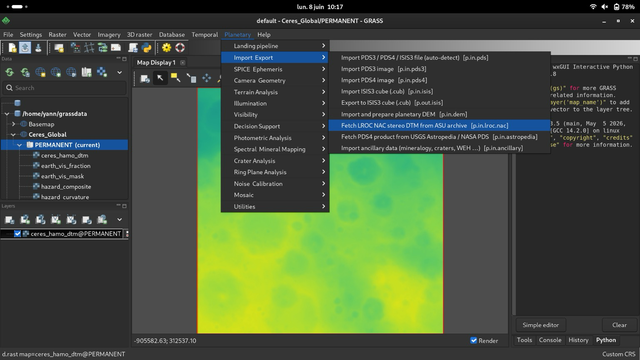
https://github.com/yannchemin/planetary #grassgis #planetary #planetaryscience #opensource #FOSS #fossgis #ceres #Moon #Clementine #M3 #lroc #TItan #enceladus #Callisto #dwarfplanet
FOSSGIS 2026 Vortrag
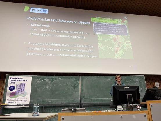
"actinia-copilot URBAN: Effizientere Stadtanalysen mit KI und Open Source"
von @mundialis und VAGO Solutions heute in Göttingen!
Die Folien sind nun online verfügbar:
https://pretalx.com/fossgis2026/talk/BY3BPK/
#FOSSGIS2026 @FOSSGISeV @FOSSGIS_Konf #actinia #grassgis #osgeo #gischat
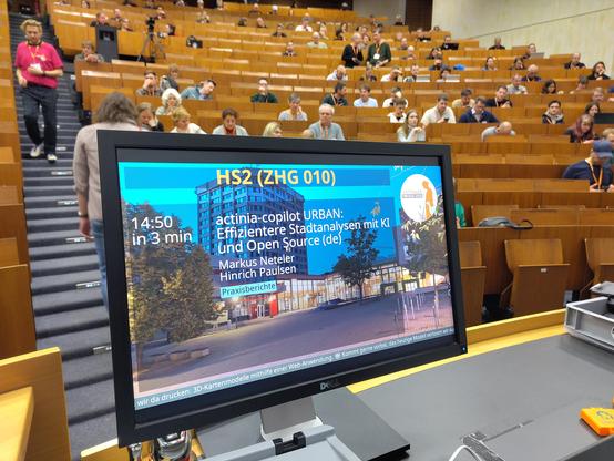
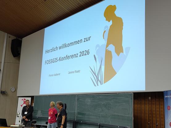
Es geht los: #fossgis2026 in Göttingen!
Wir sind mit unserem Team von @mundialis da, besucht uns an unserem Stand!
Und hier unsere Vorträge:
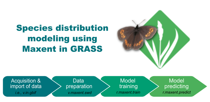
Just updated my 'Species Distribution Modeling in GRASS' reader 📘. Right in time for our upcoming module for my 'Earth, data-analysis and visualization students at #HASgreenacademy 😅
Mostly small changes about the organization of results. The least exciting part of modeling, but it can absolutely mess up your workflow if not done right. Hopefully this lands before students learn that the hard way. 🤔
https://ecodiv.earth/TutorialsNotes/sdmingrassgis/
#SDM #Teaching #ReproducibleScience #GIS #GRASSGIS #FOSS #osgeo

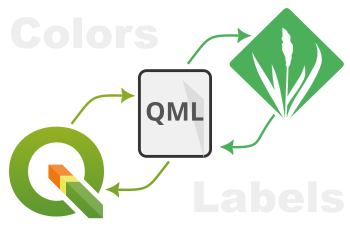
I've created two new GRASS addons to facilitate the exchange of raster styles between QGIS and GRASS: r.colors.qml and `r.colors.toqml`.
🎨 r.colors.qml: Apply QGIS QML style files directly to your GRASS rasters.
🔄 r.colors.toqml: Export GRASS color tables and categories back to QML for use in QGIS.
Read the full post here! 👇
https://ecodiv.earth/post/use_qml_in_grass/
#30daymapchallenge Day 17: A new tool
Helsinki enjoyed a grand total of 12 minutes of sunshine in November (1.–13.11). No better time to remember that yes, the sun does still exists.
This map shows Helsinki's shadiest / sunniest places in June. New tool? #GRASSGIS solar irradiance model.
🌊 Modeling a potential dam breach — and how panic spread beyond the real watershed
This project assessed the potential consequences of a dam failure at a mine-water impoundment in the Svystunova Gully.
🔹 Reconstructed the original pre-impoundment terrain from archival topographic maps.
🔹 Used Sentinel-based land-cover classification to assign variable Manning’s roughness coefficients.
🔹 Built a modern DEM including the dam structure and current flooded zone.
🔹 Simulated dam-break flood dynamics in GRASS GIS — frame by frame.
🔹 Produced a video visualization to help local communities understand real risks (and ignore fake ones).
🔹 The results were later featured in regional media and used in discussions about mine-water safety.
🎥 Watch the short video visualization:
🔗 https://youtu.be/JTcCLXqvWlE?si=NS7ly7UAZu1XttWy
#Hydrology #DamSafety #GIS #GRASSGIS #MineWater #HydrodynamicModeling #GeospatialAnalysis #EnvironmentalRisk #OpenScience #IndependentResearch #SvystunovaGully
