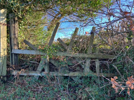
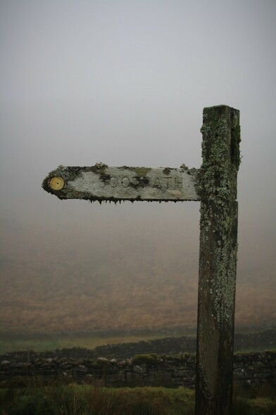
Latest #Ramblers magazine has an item on the number of stiles on #PublicRightsOfWay in England and Wales. They used #FreedomofInformation requests, presumably from each Highway Authority, for the data. Grand total comes to around 140,000, or around 1 per mile of PRoW.

#OpenStreetMap has just over 82,000 as of today (#OverpassTurbo query: https://overpass-turbo.eu/s/2cFH). Not all of these will be on public rights of way, but between 50 and 60% of the total isn't bad. (Wales only represents ~5-6%).

overpass turbo

A web based data mining tool for OpenStreetMap which runs any kind of Overpass API query and shows the results on an interactive map.

Prizes for suggesting a sensible value for barrier=* on this #BOAT? (Penzance Byway )

I could just about squeeze past the wheel-less van.

#OpenStreetMap #TaggingConundrums #PublicRightsOfWay #Byway

@BUnicycling There were similar routes from farms to non-conformist churches in Wales which can form an odd (& not very useful) network of #PublicRightsofWay

However, the density difference between Ireland & GB around 1900 looks real & interesting.

As I've been using #OpenStreetMap throughout #30DayMapChallenge I thought I try and celebrate user contributions.

It so happens that a member of our local community started some systematic mapping of footpaths (#PublicRightsofWay) back in late 2017. I collected the data from his mapping at the end of 2021, so I give you John Stanworths footpath mapping round Sheffield.

Lots of other enthusiastic hikers across the globe, including a few here : RT @valhikes @SomeoneElse @alan

New research highlights strong correlations between race and class and accessibility to public footpaths

A new report from the Ramblers lays out in detail the race and class privileges of public access to footpaths across England and Wales

Canary

Job opportunity for anyone interested in #NationalTrails research & policy.

Deadline: 15th March 2023

Full time 2 year Fixed Term Appointment with potential to extend @ £35k

https://jobs.theguardian.com/job/8491771/policy-and-research-officer/

#outdooraccess #publicrightsofway

Policy and Research Officer - Homeworking, national office and nationwide travel job with National Trails UK | 8491771

We're looking for a Policy and Reseach Officer to help articulate and advocate the public benefits of the National Trails across the UK.

Guardian Jobs
Any Sheffield people use the new path through the flats between Chelsea Road and Brincliffe Hill? Used to be Baldwins Omega. It's marked on the public rights of way map as an Open Byway Sheff/Sch 14/001.
https://sheffieldcc.maps.arcgis.com/apps/webappviewer/index.html?id=f05ea9f0d02f45238dcc410dfee4c2b2
It was blocked by parked cars this morning so pushchairs and cycles couldn't get through. I have reported to the council, I was wondering who else might use this? #sheffield #brincliffe #byway #publicrightsofway
ArcGIS Web Application

Footpath signs on the outskirts of Ab Kettleby, Leicestershire.

A follow-up to a day mapping footpaths for #OpenStreetMap with Nick Whitlegg in 2016.

#FingerPostFriday #PublicRightsOfWay

When I’m passing a crossroads called ‘Five Lanes’ of course I’m going to count the lanes! Just four on the #Fingerpost…but here’s no.5 🤔.

Not just me that’s noticed…there’s already an application to add it to the definitive map of #PublicRightsOfWay. Maybe one day there will be five sign arms.

Not the access issue mentioned in my previous toot btw, I was just passing & curious 🧐

Just had the nod on a new work project for one of our National Park customers to enable their rangers to order and manage the repair and replacement of PROW fingerposts via a mobile app.

Enjoying the synchronicity with #FingerpostFriday

Part of me is wondering whether I can give a home to some of the old ones though...

#PublicRightsOfWay #UKNationalParks #SlowWays #Mosstodon